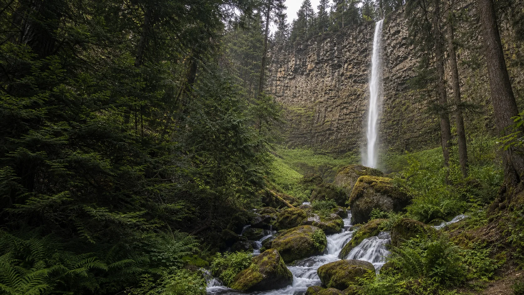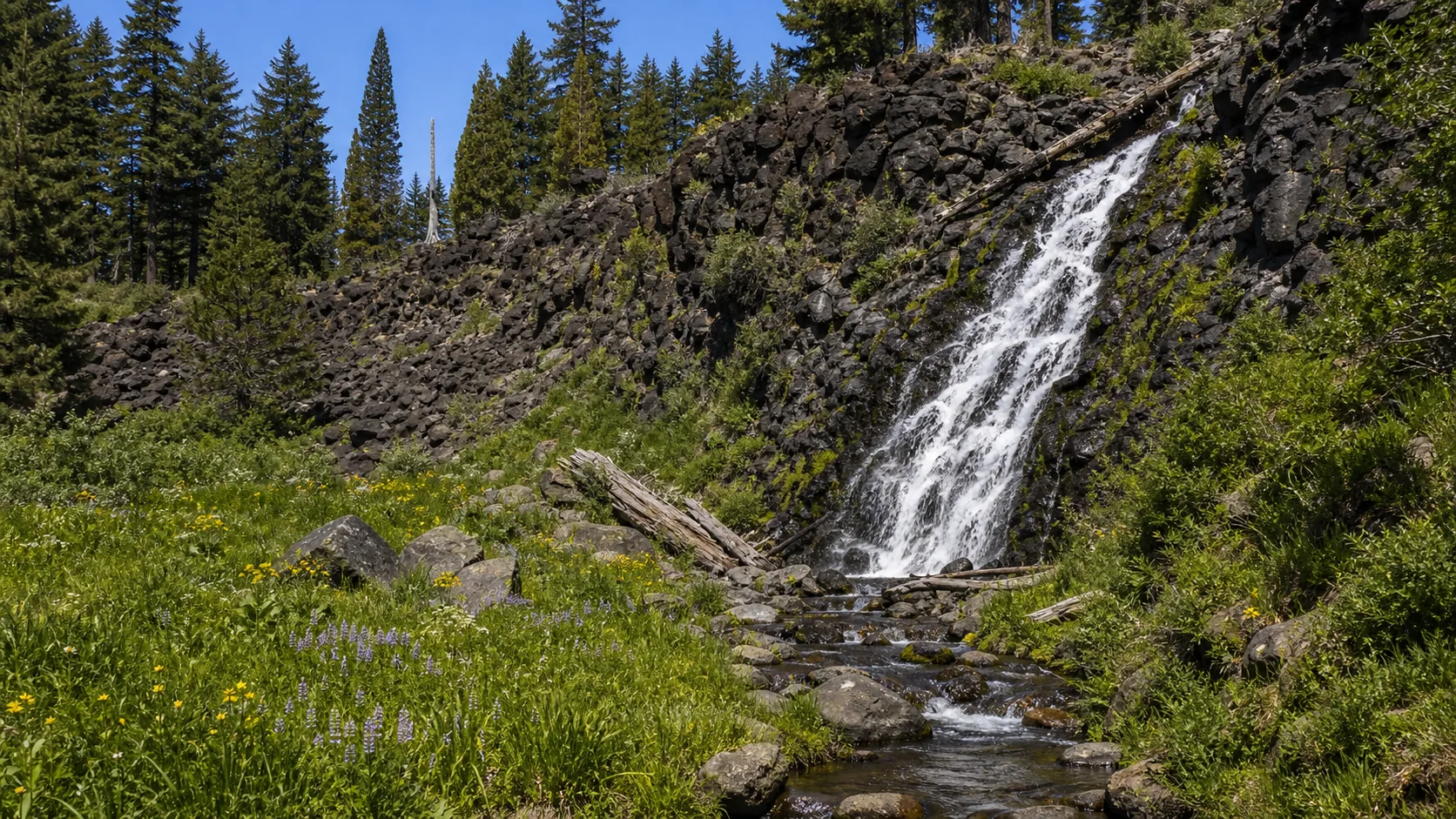
Is Plaikni Falls worth visiting today?
Yes if Pinnacles Road is open, which is roughly early July through late October depending on snowpack. The best window is mid-July through mid-August for the wildflower meadow at the falls (paintbrush, monkeyflower, lupine), with September a quieter close runner-up. Plan on the $30 per-vehicle park entrance fee or the $80 federal Interagency Annual Pass, no dogs on the trail, and check the current NPS road status before driving the 7-mile Pinnacles Road spur.
- 2.0 mi round trip from Pinnacles Road
- Open July through October only
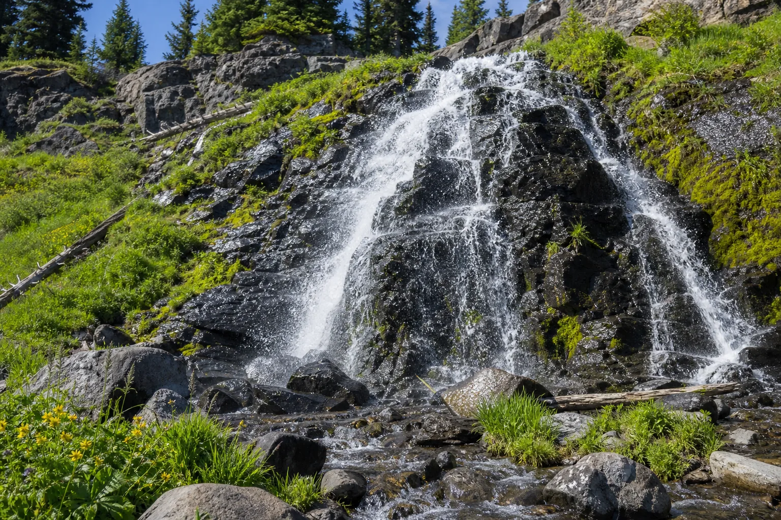
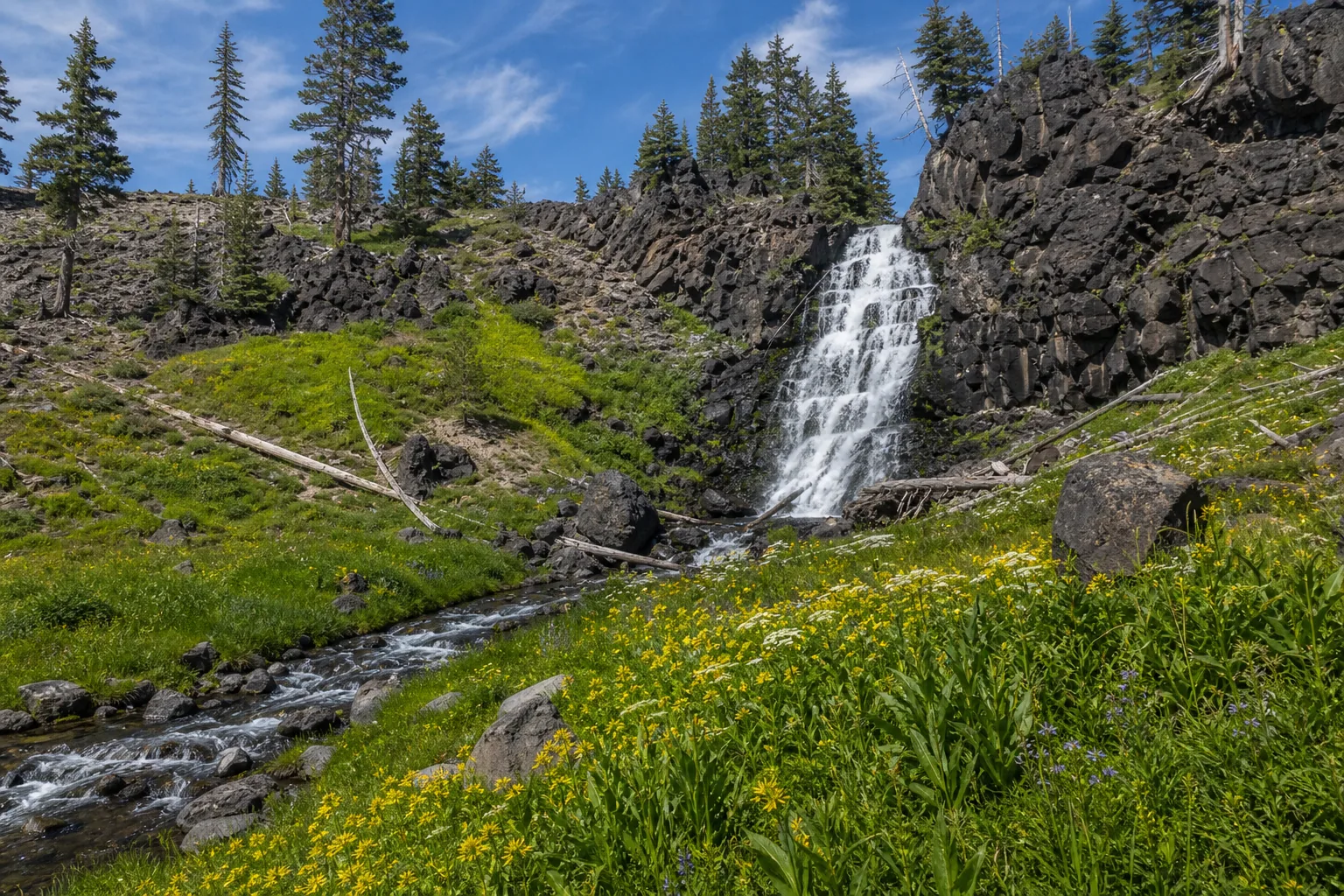
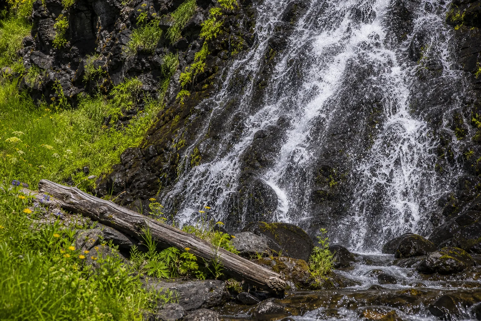
- Wildflower peak: mid-July to mid-Aug
- $30 park entrance fee per vehicle
- First 3/4 mi wheelchair-accessible
- No dogs on trail; no drones in park
Last verified May 12, 2026
Visited Desk-verified May 2026
7 sources checked