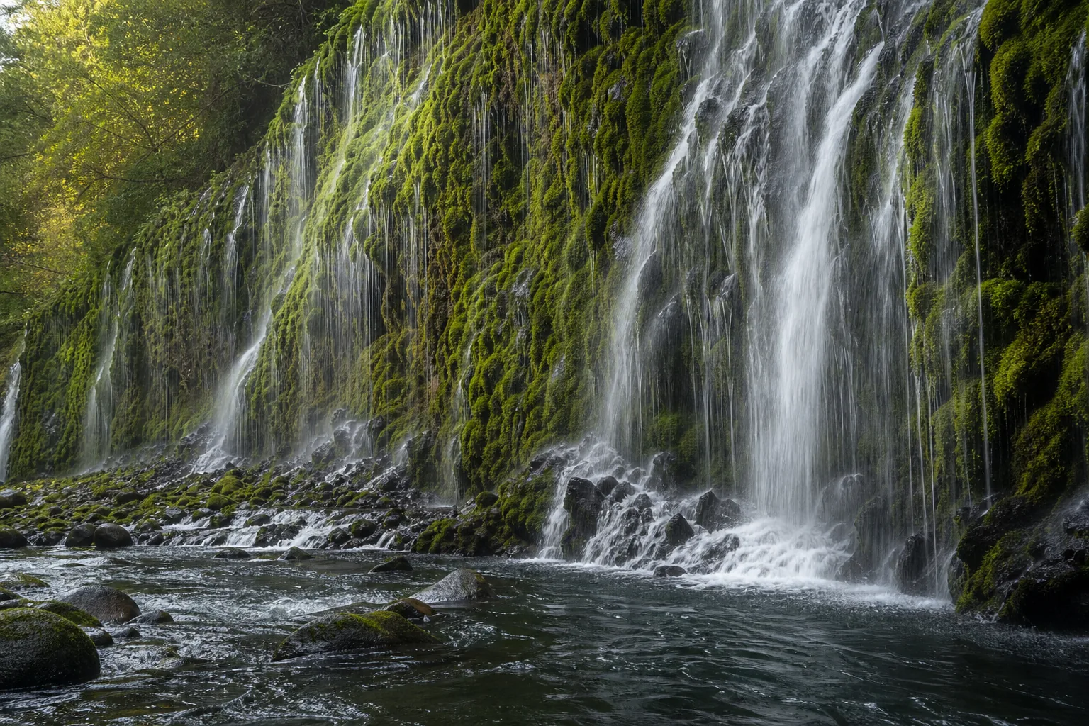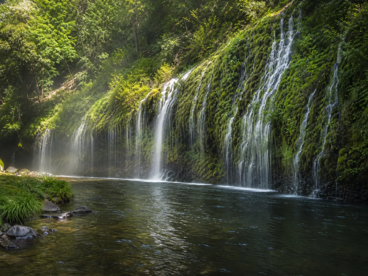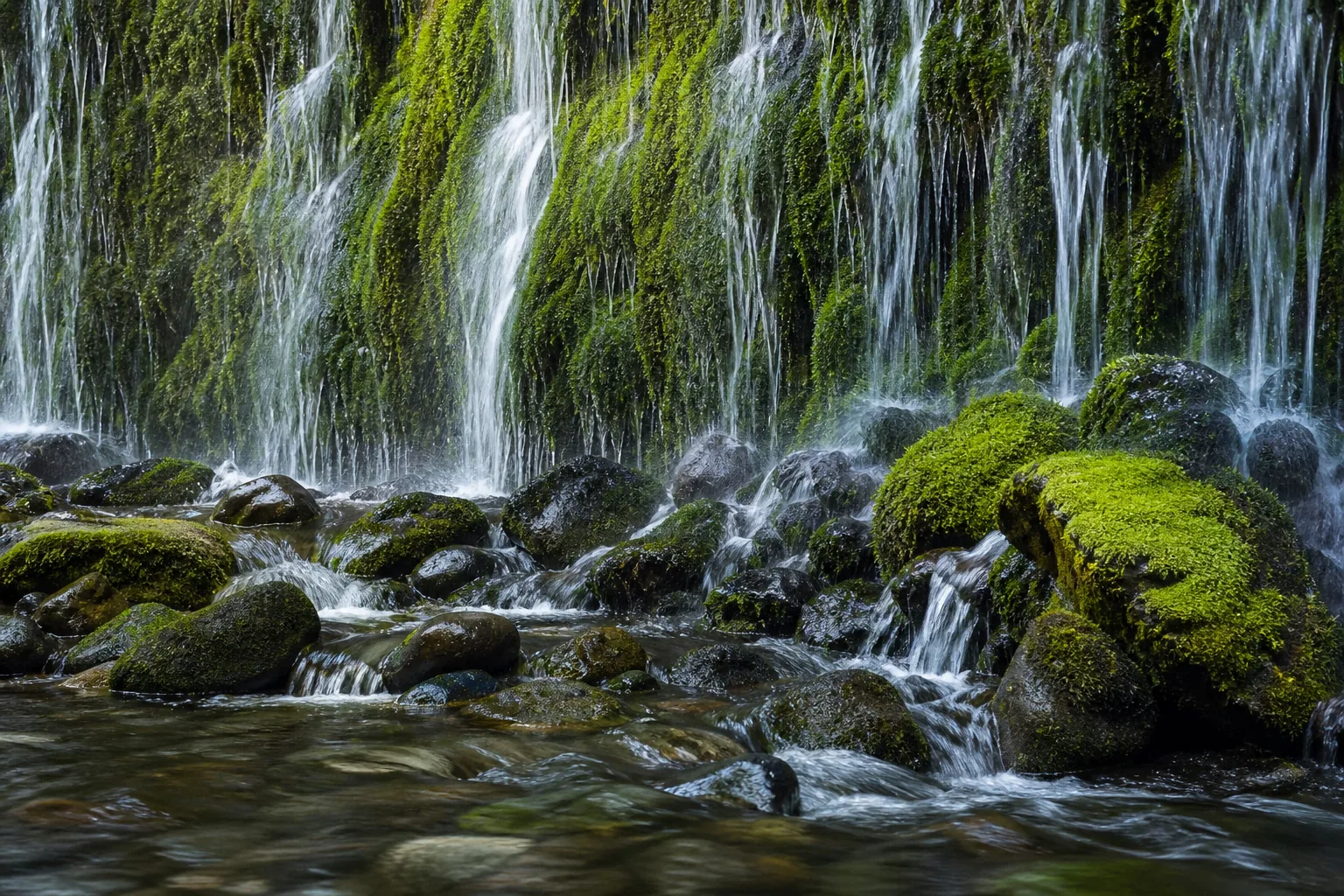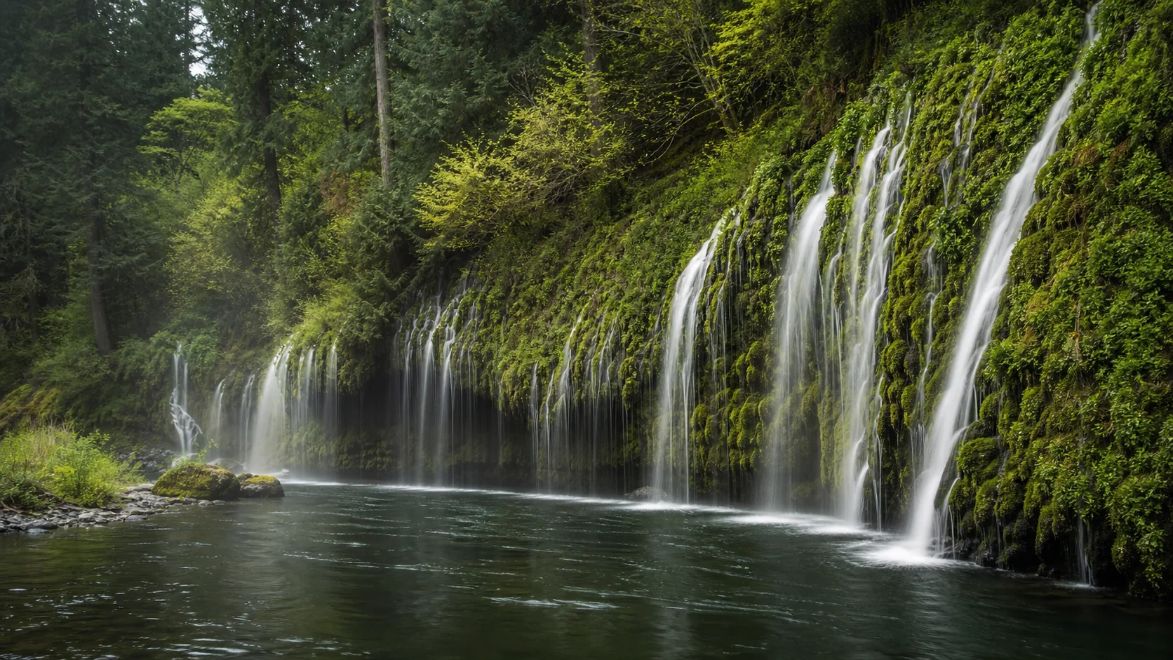
Can you legally hike to Mossbrae Falls?
No. The 1.5-mile route from Dunsmuir's Hedge Creek trailhead crosses onto Union Pacific Railroad property and along an active mainline track, and visitors have been cited for trespassing. The only legal ways to see Mossbrae are by raft or kayak on the Sacramento River, or by invitation through a resident of the private Shasta Retreat community. The springs run roughly constant year-round, so timing matters less than access logistics; spring snowmelt only slightly enhances the upper seeps.
- Spring-fed fan; flow is roughly constant year-round
- No legal walking trail (UPRR trespass)
- Legal access: river paddle or Shasta Retreat invitation
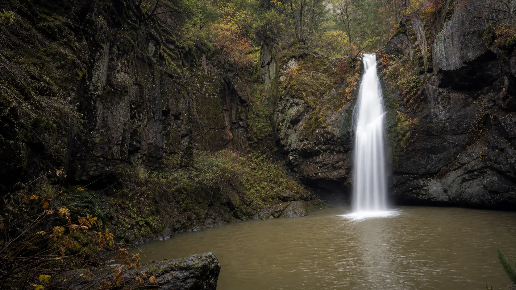
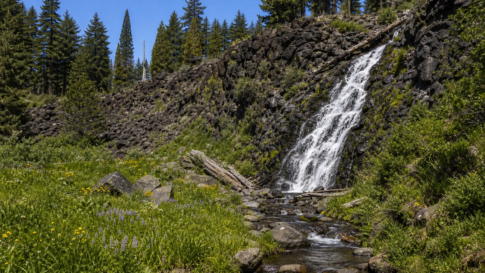
- Hedge Creek Falls is the legal Dunsmuir stop instead
- Best photo light: soft overcast or late afternoon
- Visitors cited for walking the tracks
Last verified May 12, 2026
Visited Desk-verified May 2026 with local-news cross-check on access status
8 sources checked