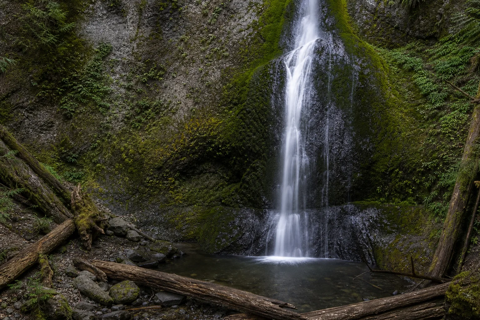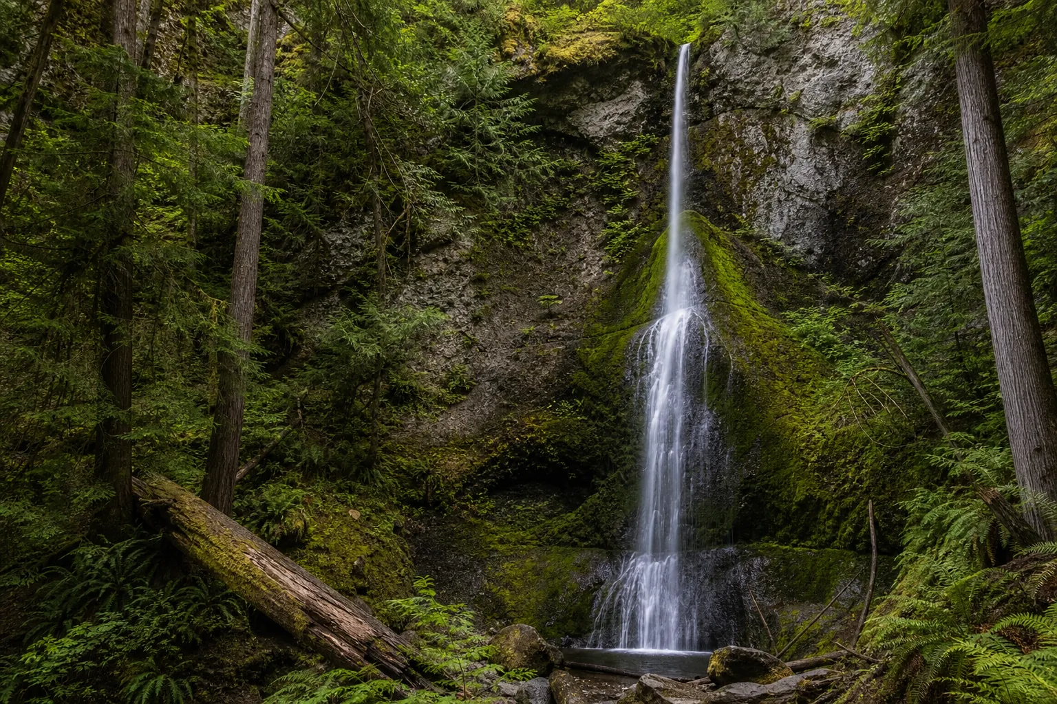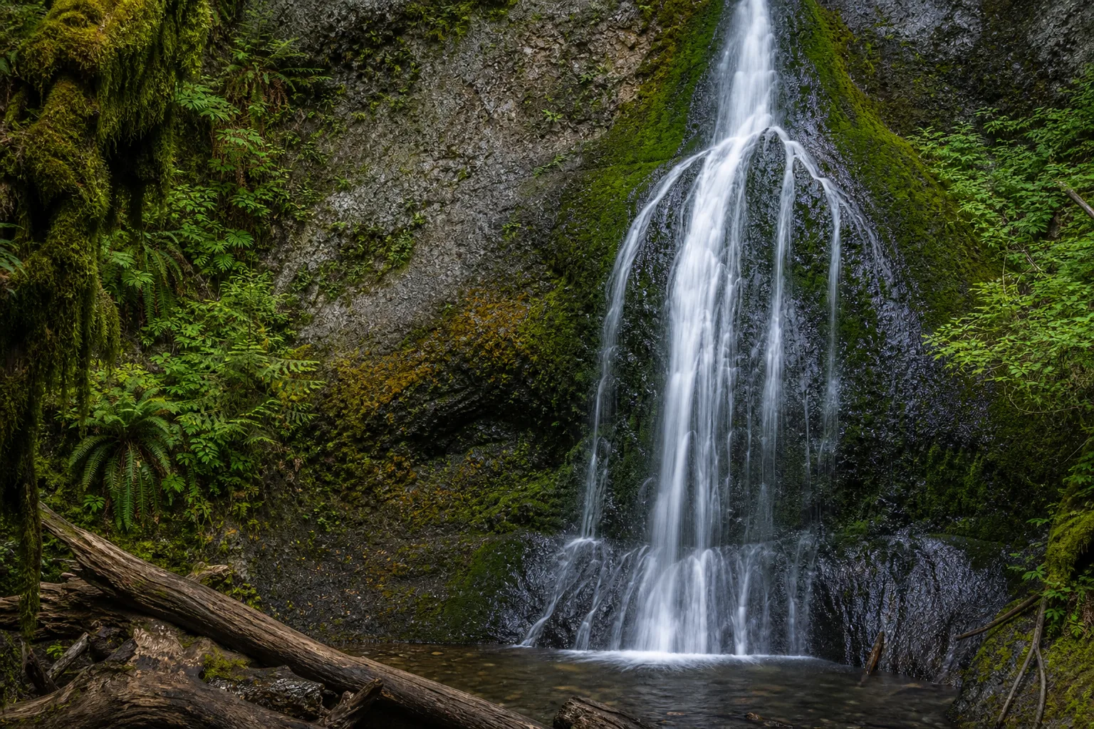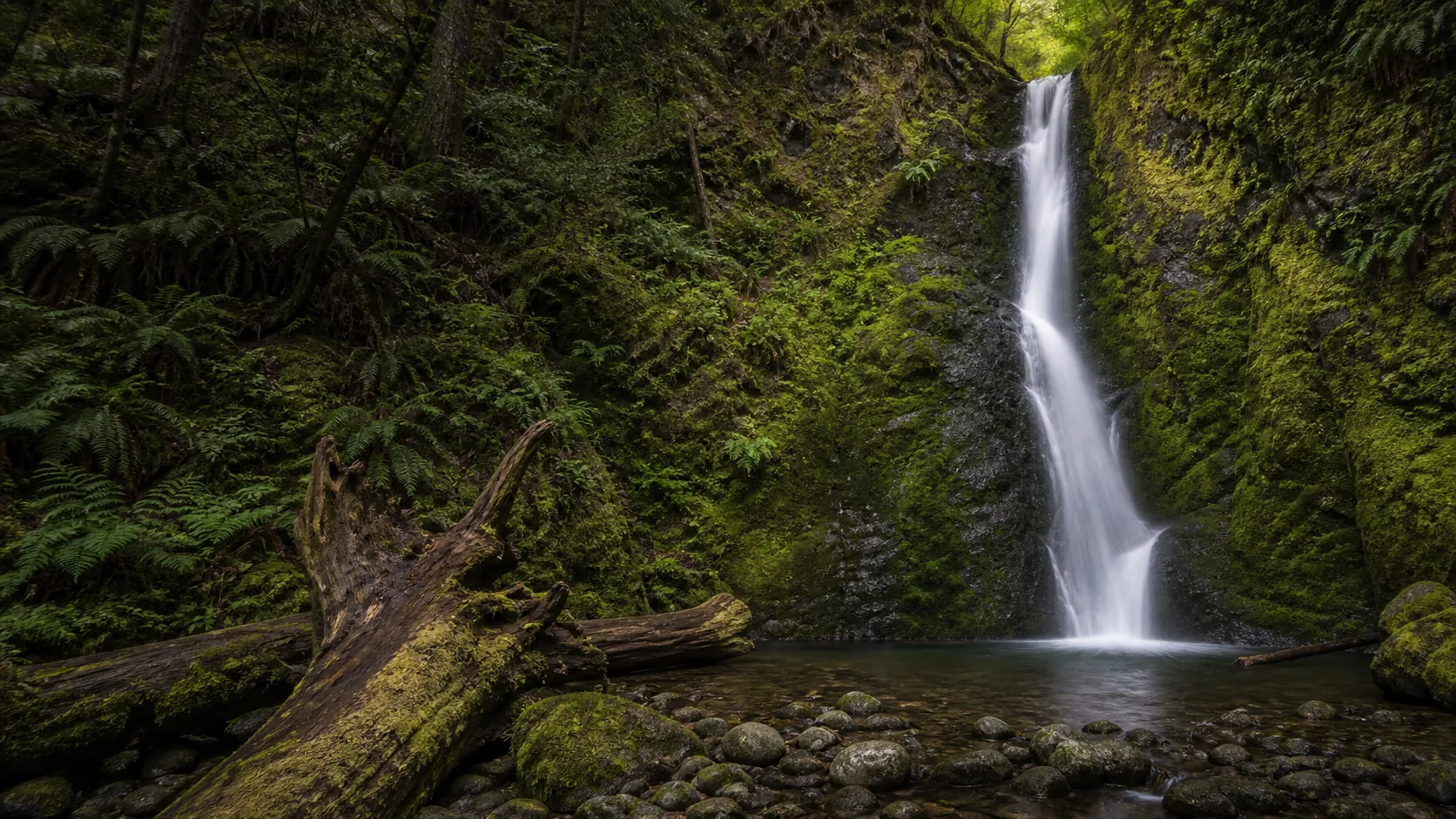
Is Marymere Falls worth visiting?
Yes. The trail is open year-round, peaks for water volume from April through June on snowmelt out of the Mount Storm King drainage, and is busiest from mid-July through Labor Day when Lake Crescent runs at capacity. Entrance is $30 per vehicle for Olympic National Park (valid 7 days) or covered by the $80 America the Beautiful pass; the trail itself is free once you are in the park.
- 1.8 mi round trip from Storm King Ranger Station
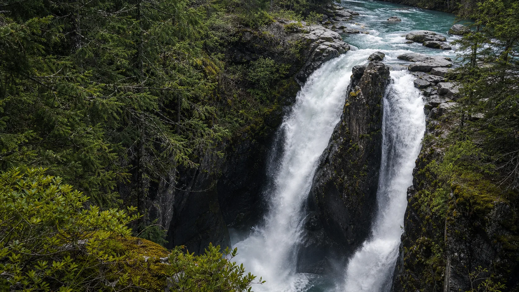
- Peak flow: April through June (snowmelt)
- $30/vehicle Olympic NP entrance (7-day pass)
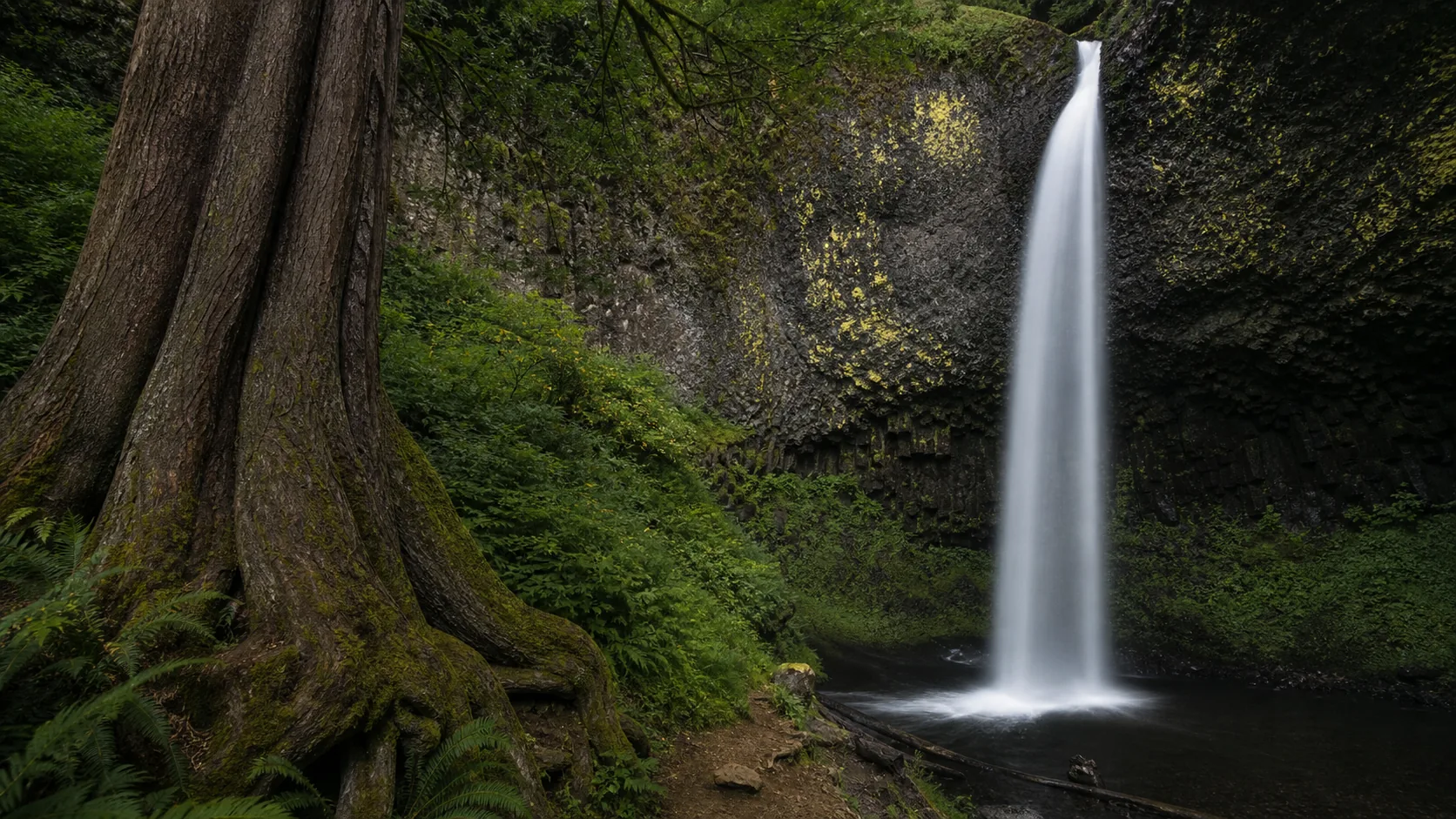
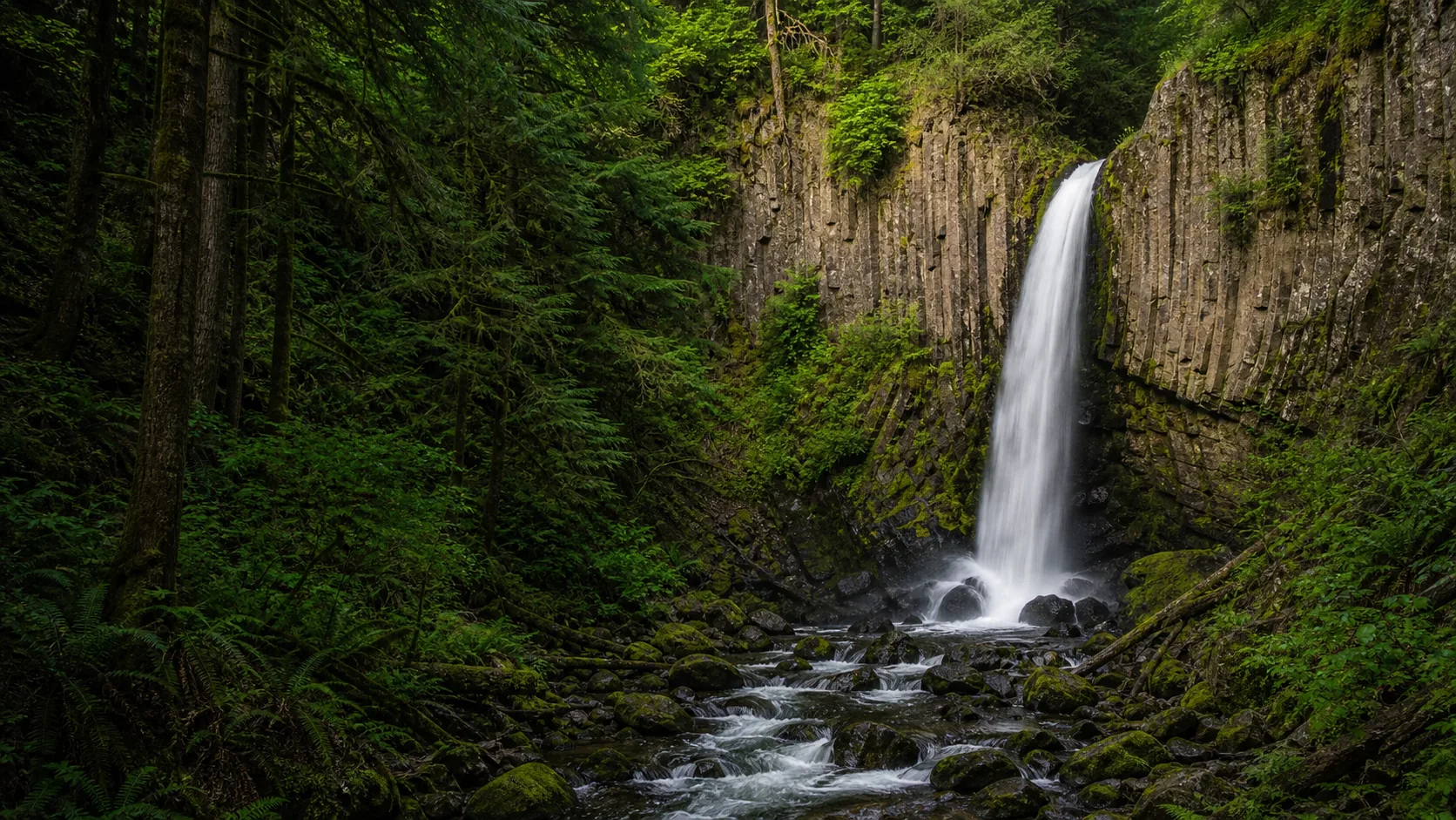
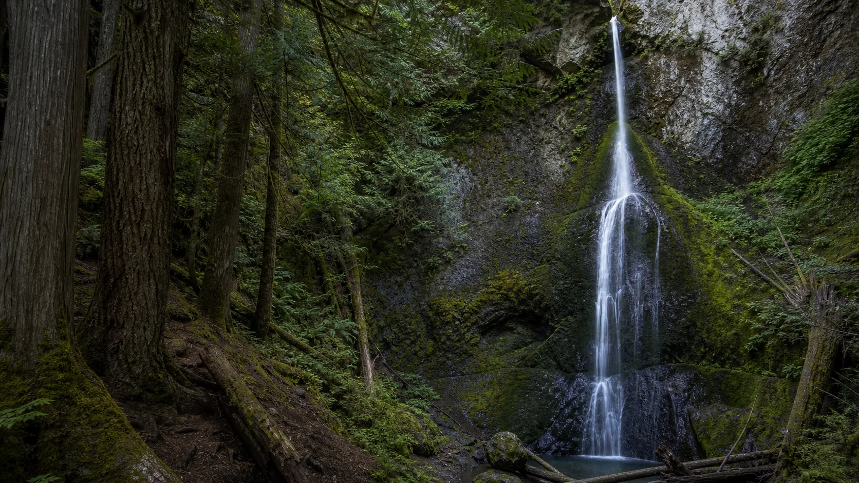
- Two footbridges and a 200-ft climb to railed viewpoints
- No dogs anywhere on the trail
- Pair with Lake Crescent Lodge or Mount Storm King
Last verified May 12, 2026
Visited Desk-verified May 2026
8 sources checked