Is Latourell Falls worth the stop?
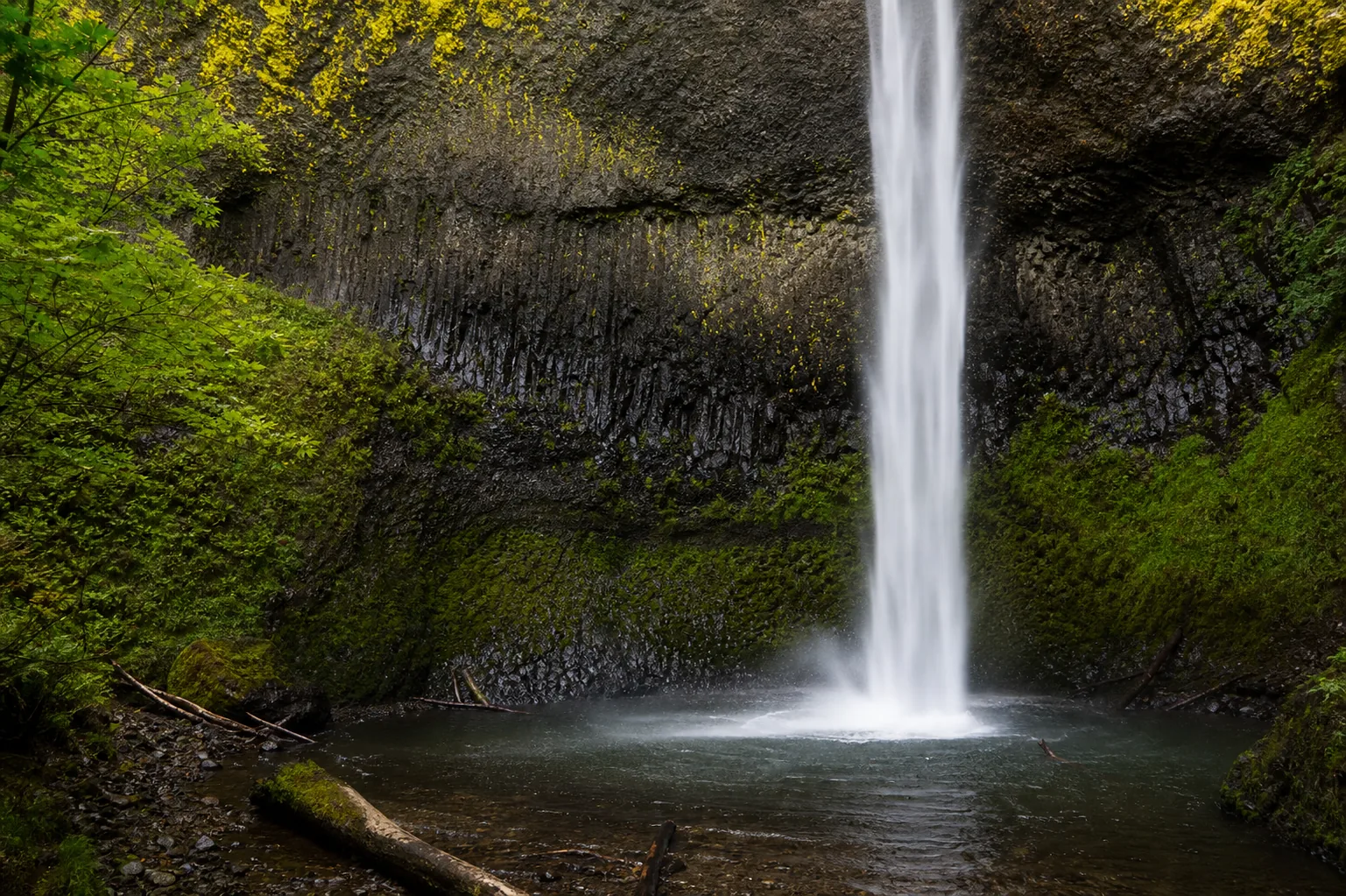
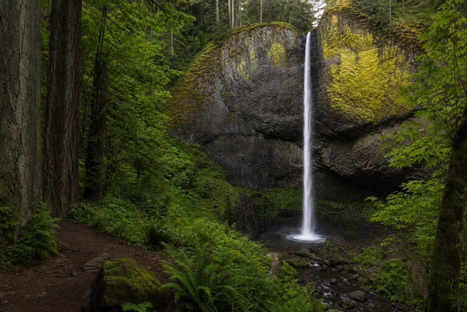
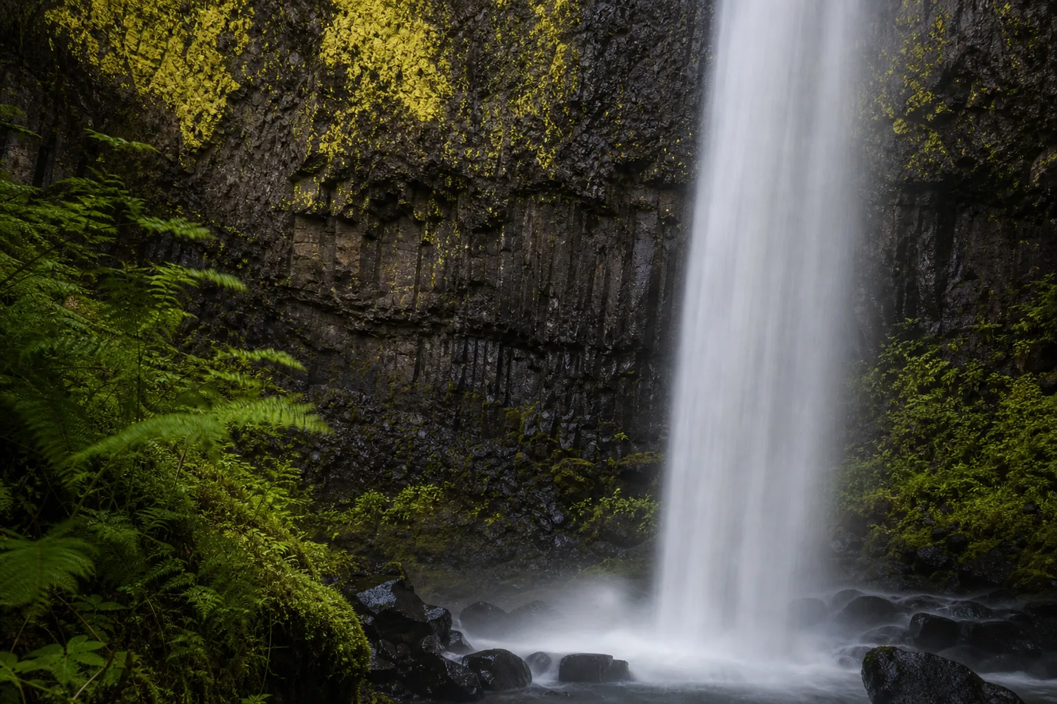
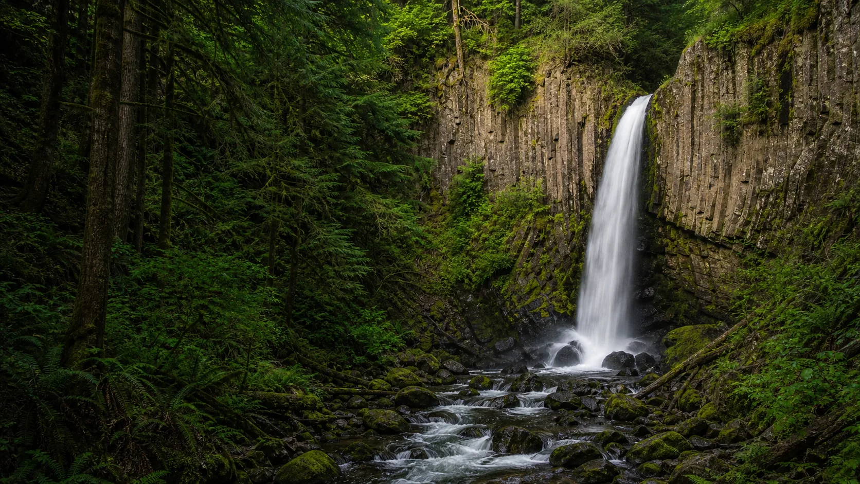
The strongest visit windows are late October through early June, when cool Gorge weather and steady rain keep Latourell Creek at full volume against its yellow-lichen basalt wall. Mid-summer flow thins to a misty curtain but the alders and bigleaf maples leaf in fully, which softens the amphitheater. The trail is paved to the lower viewpoint and is open year-round during the 6 a.m. to 10 p.m. day-use window; only the 60-step stair from the lot and the longer 2.4-mile loop need real footing.
- 249-foot single plunge over columnar basalt, the marquee Lower Latourell Falls
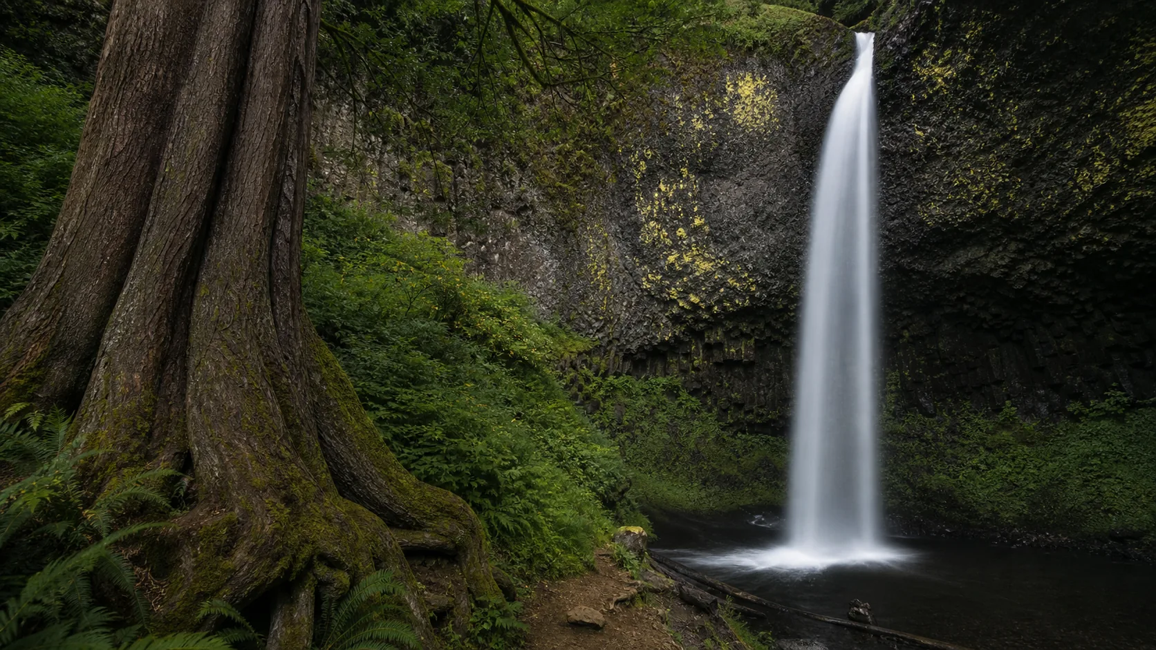
- 2.4-mile loop with 625 ft gain to two-tiered Upper Latourell Falls
- $10 Oregon resident / $12 non-resident day-use permit, or annual State Parks pass
- Open 6 a.m. to 10 p.m. for day use, year-round
- Leashed dogs welcome; trail is family-friendly but rocky in places
- About 30 minutes east of Portland on the Historic Columbia River Highway
Last verified May 4, 2026
Visited Desk-verified May 2026
5 sources checked