Is Smalls Falls worth visiting today?
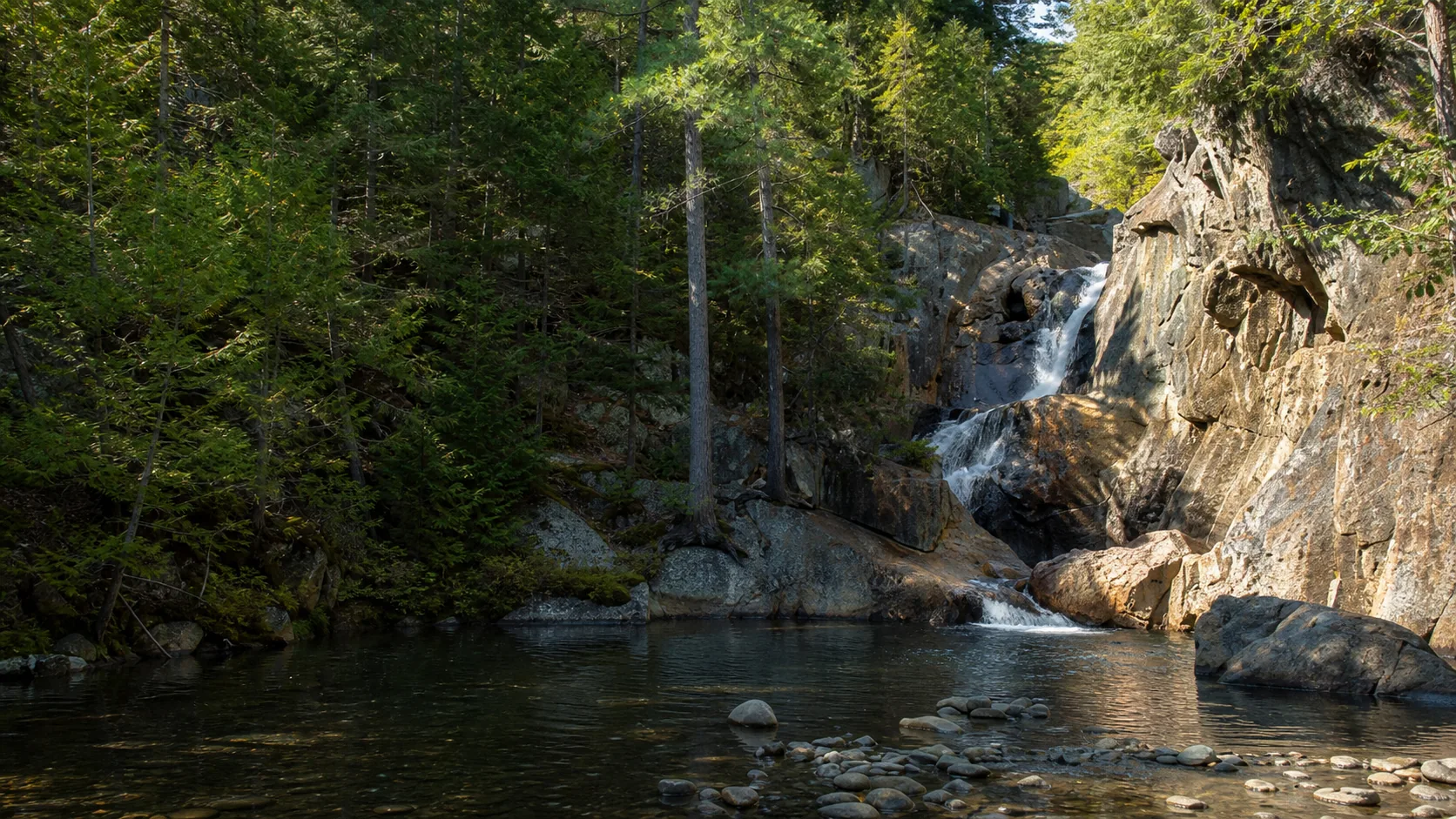
Yes, especially on a warm July or August afternoon when the lower pool is jammed with families and the upper tiers are running clean and cold. The walk from the car to the first overlook is under a minute, the climb to the top of the gorge is under fifteen, and the lower pool is one of the few Maine swimming holes where swimming is openly welcomed by the land manager rather than tolerated. The trip is also worth it in late April through May for the loudest snowmelt flow, and in early October for foliage running through the gorge.
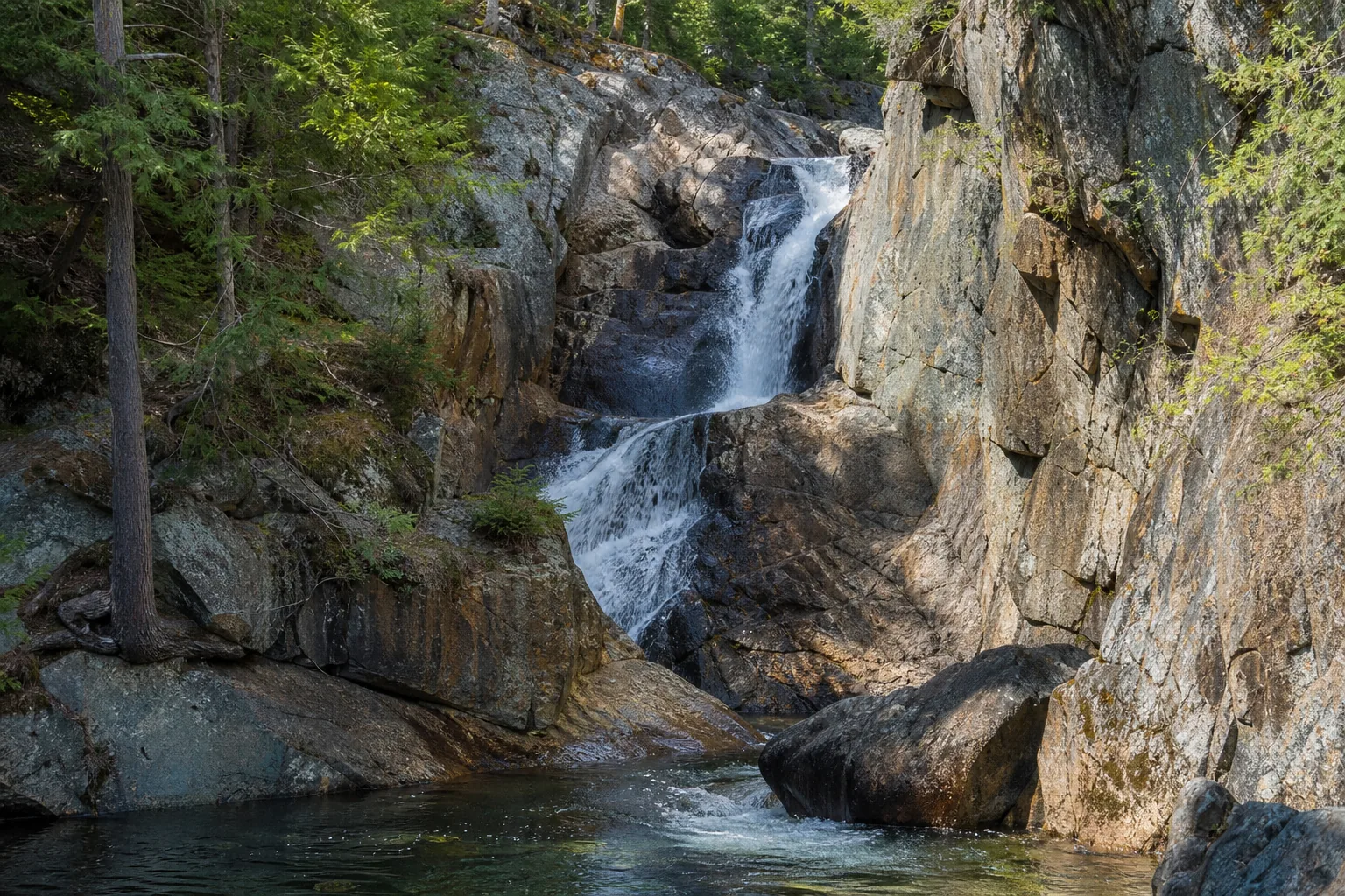
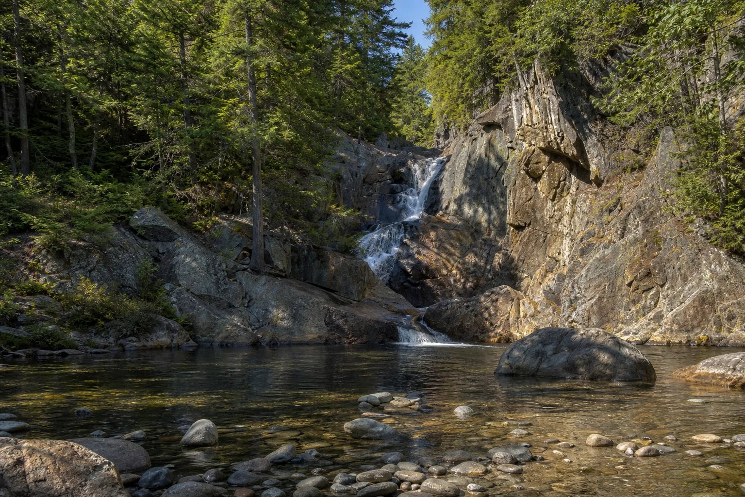
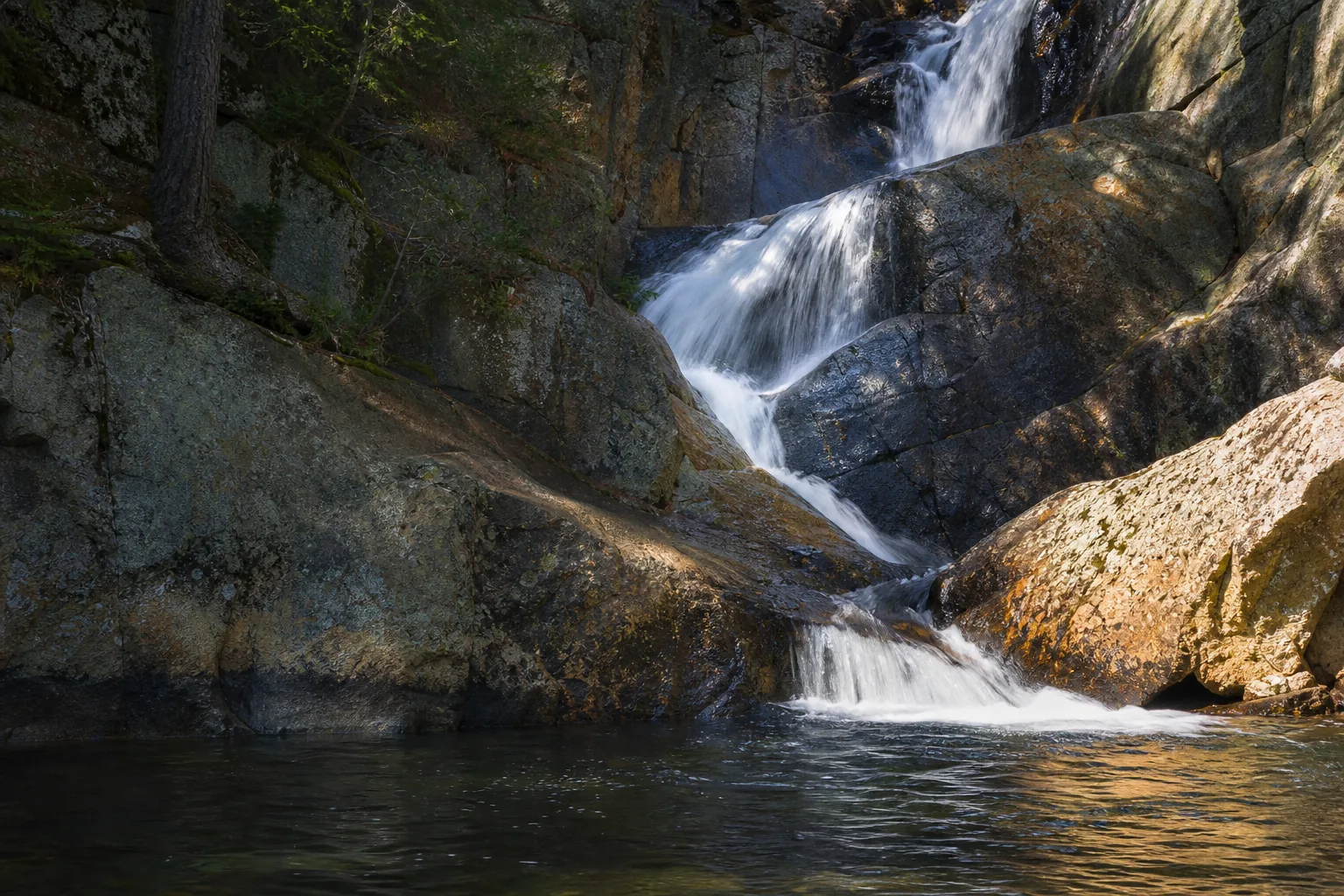
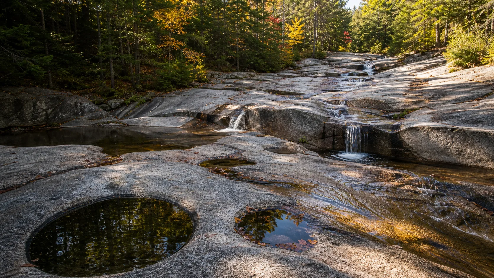
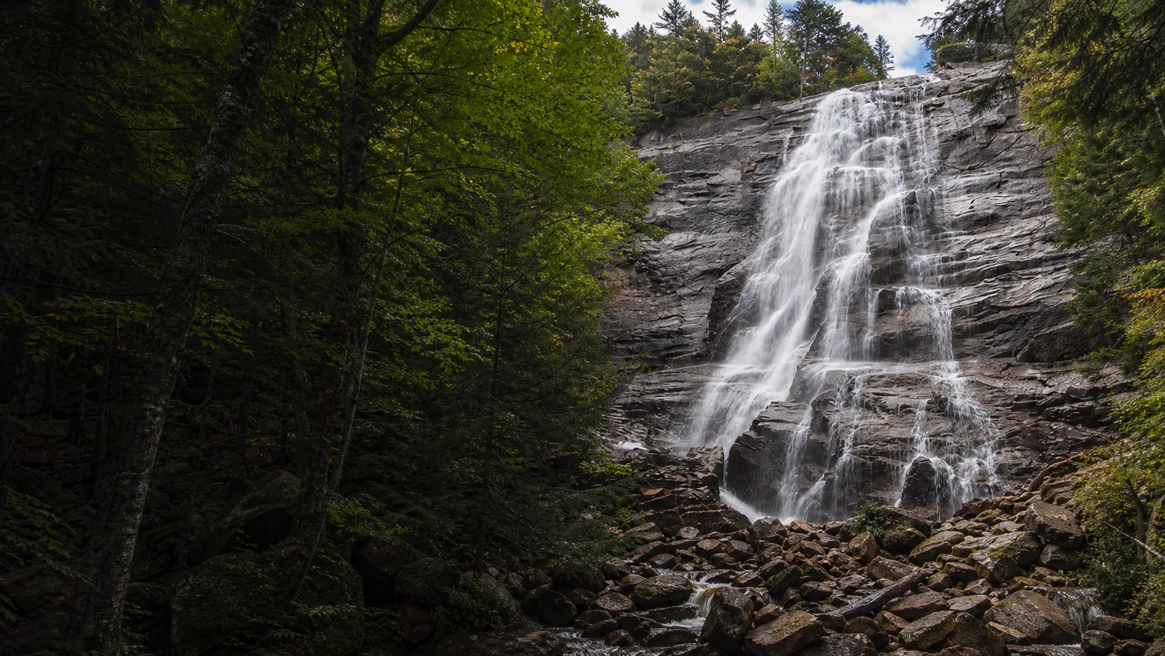
- 54-foot four-tier cascade on the Sandy Stream
- Free Route 4 rest area, gated mid-May to mid-October
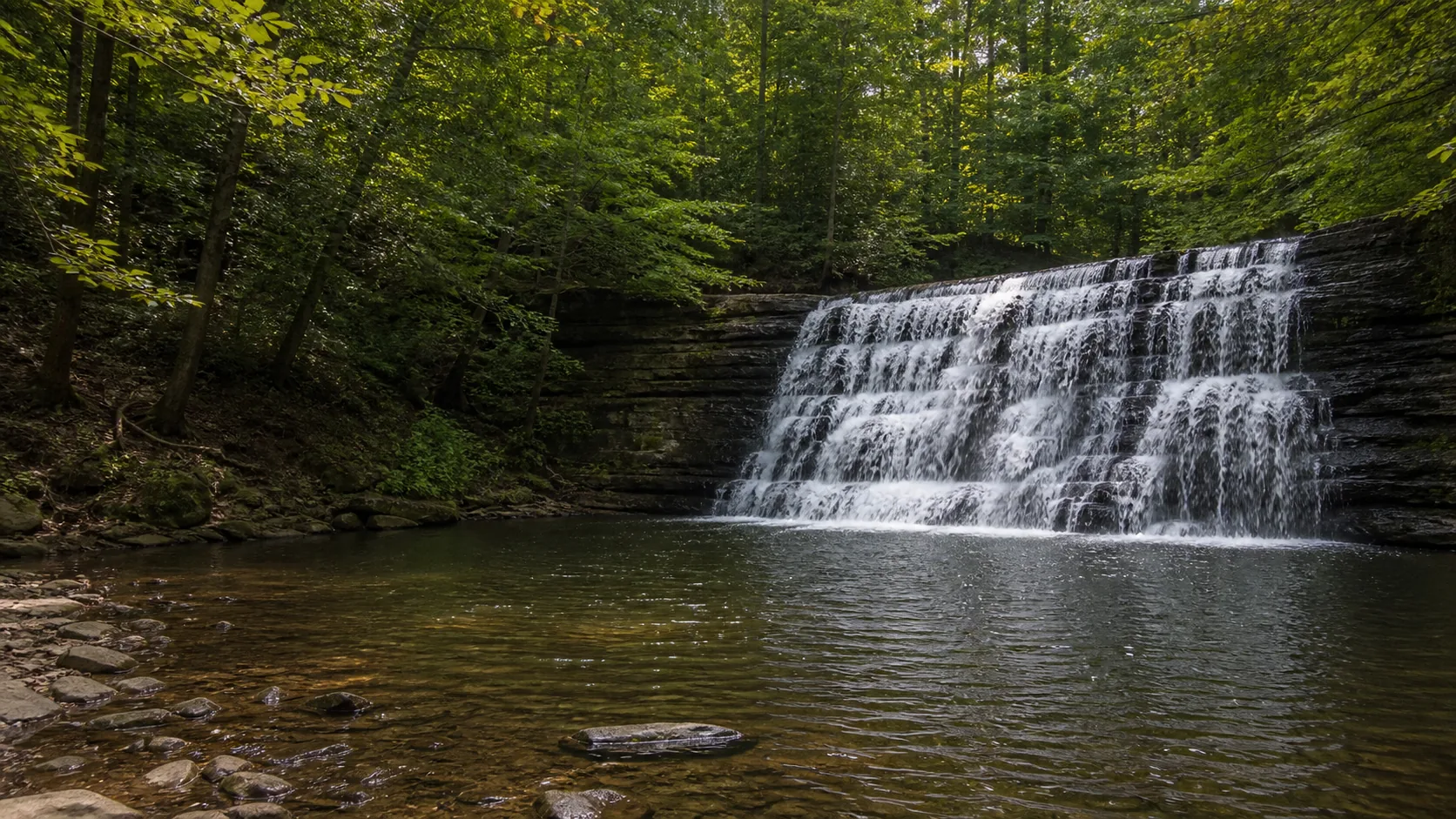
- Legal swimming in the gorge pools
- Live USGS gauge 01047200 on this page
- Short gorge-rim path, about 0.5 mi out-and-back
- Best swimming: July and August afternoons
Last verified May 12, 2026
Visited Desk-verified May 2026
7 sources checked