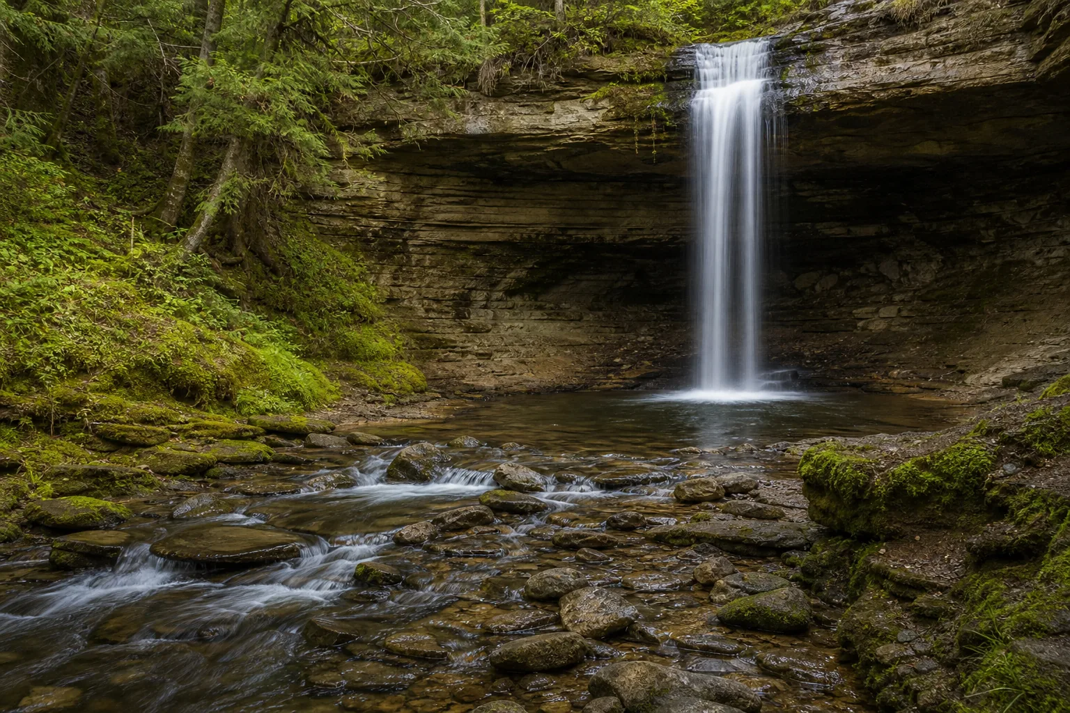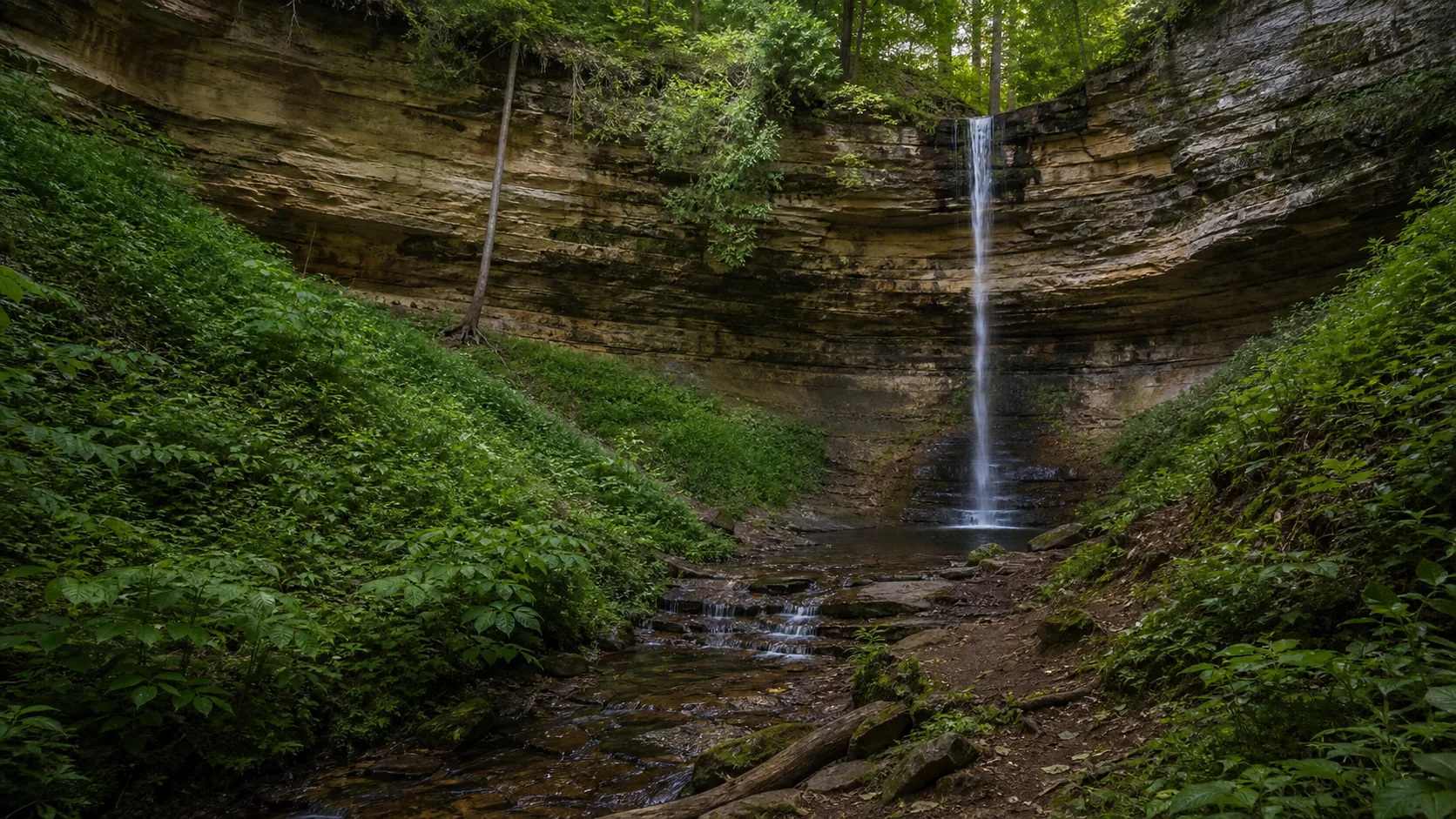
Is Munising Falls worth visiting?
Yes. The two strongest windows are late April through May for spring runoff and late January through mid-February for the full ice column; summer (June through September) is the only season the walk-behind path is reliably open. Practical: free entry, free parking at the Munising Falls Visitor Center at 1505 Sand Point Road, paved and wheelchair-accessible from the lot to the lower platform, no Pictured Rocks entrance fee, dogs allowed on leash on the paved trail.
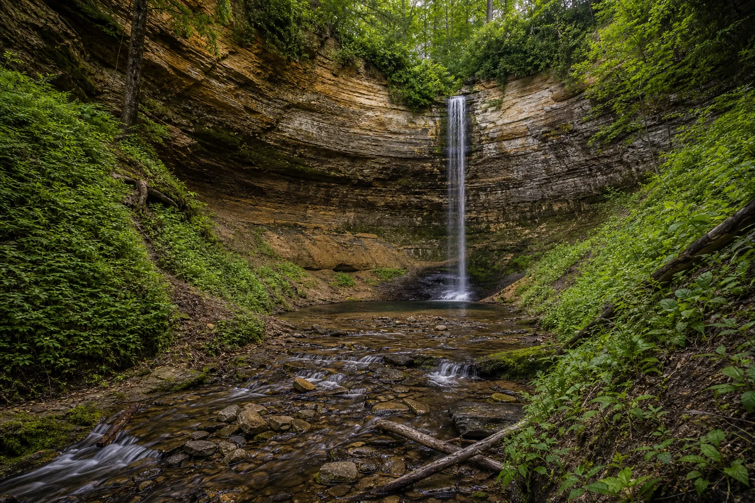
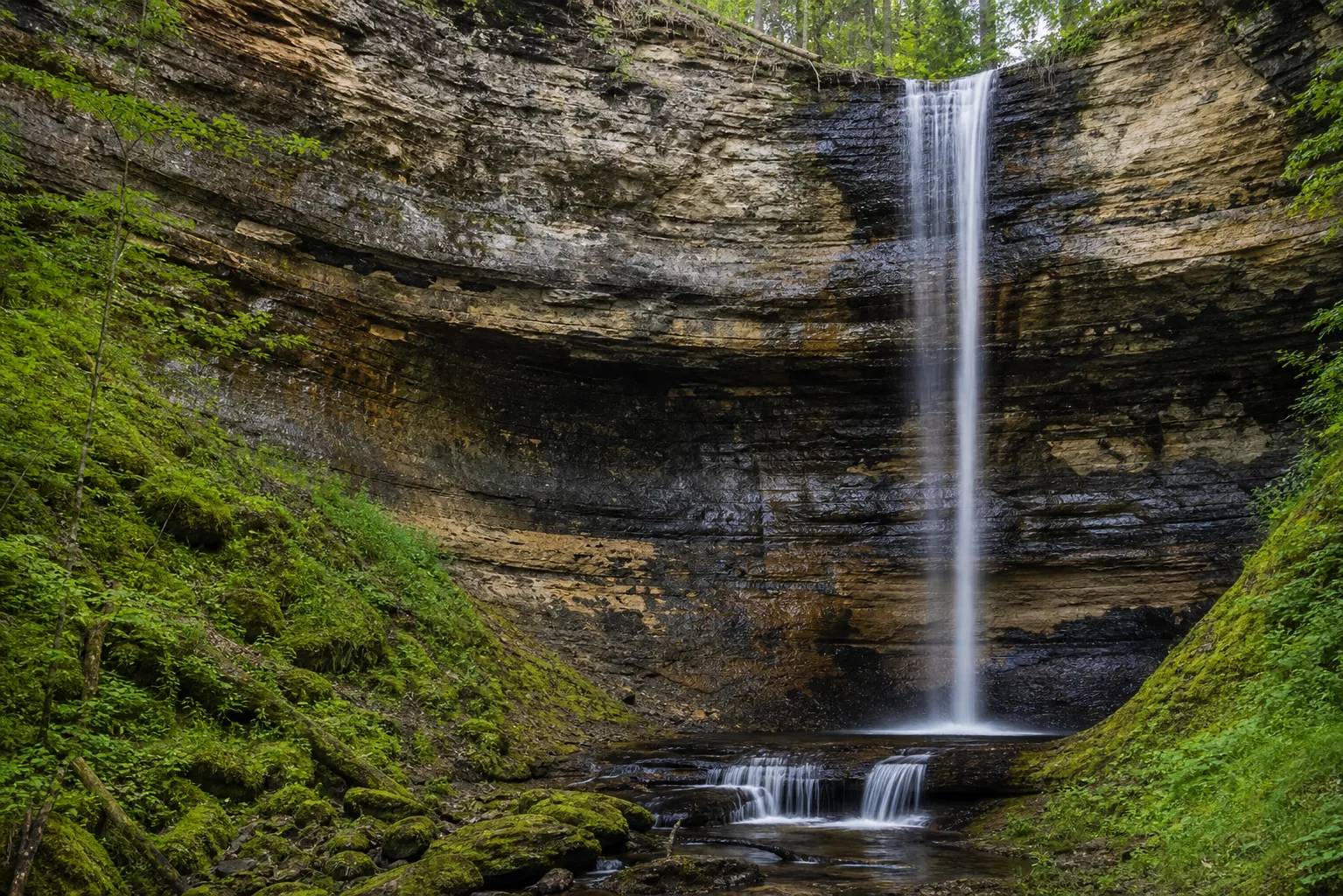
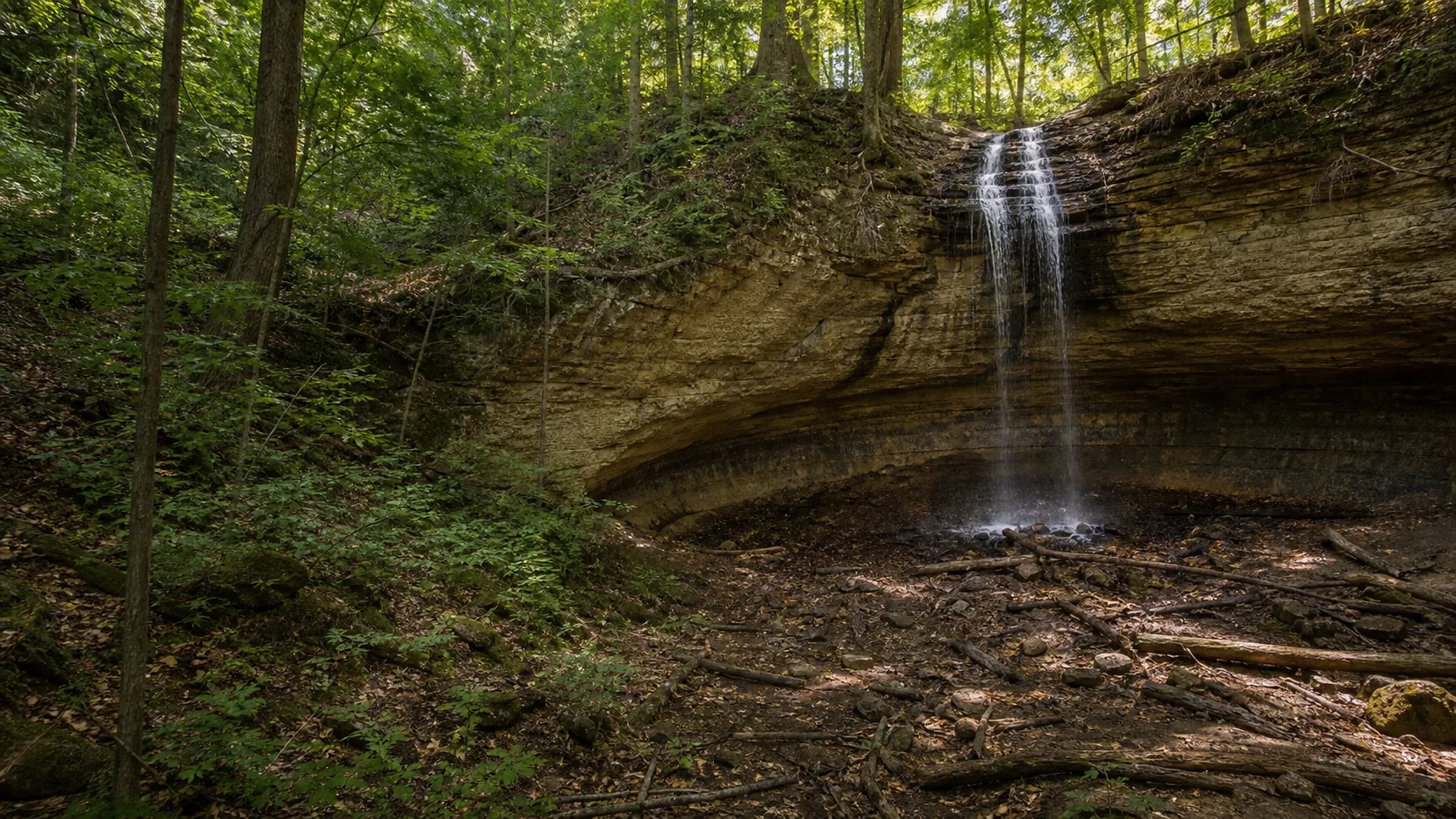
- 50-foot plunge over Cambrian sandstone
- 0.4 mi paved ADA out-and-back
- Trailhead: Munising Falls Visitor Center, 1505 Sand Point Road
- Peak flow: late April through May
- Ice column: late January through mid-February
- Walk-behind path open in summer only
- Free entry, free parking, no pass required
- Pictured Rocks boat tours leave from Munising
Last verified May 12, 2026
Visited Desk-verified May 2026
8 sources checked