Is Cane Creek Falls worth visiting?
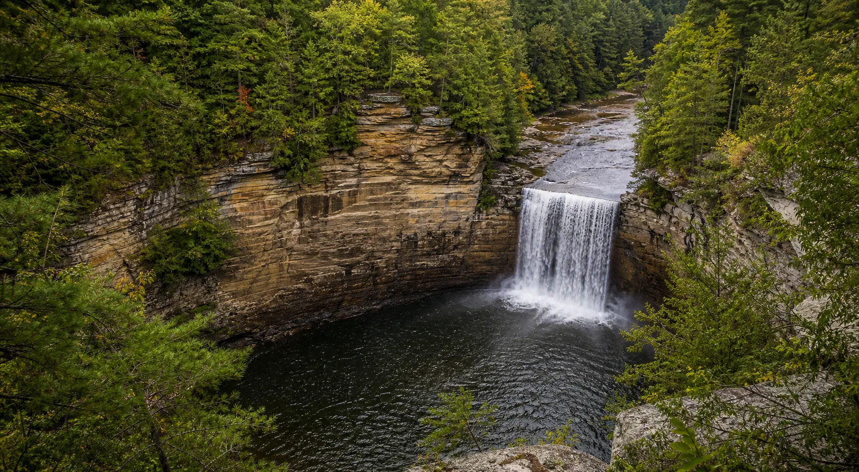
Yes. The two best windows are March through May for the heaviest spring flow and the first two weeks of October for fall color in the gorge. The state park is free, parking at the Nature Center is free, and the main Cane Creek Falls overlook is a short paved walk from the lot with railings and a stroller-friendly grade. The descent to the base on the Cable Trail is a separate, very strenuous trip that should be skipped when the rock is wet.
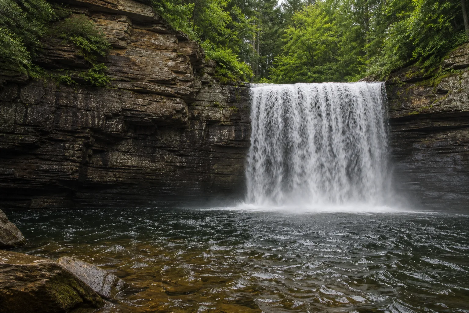
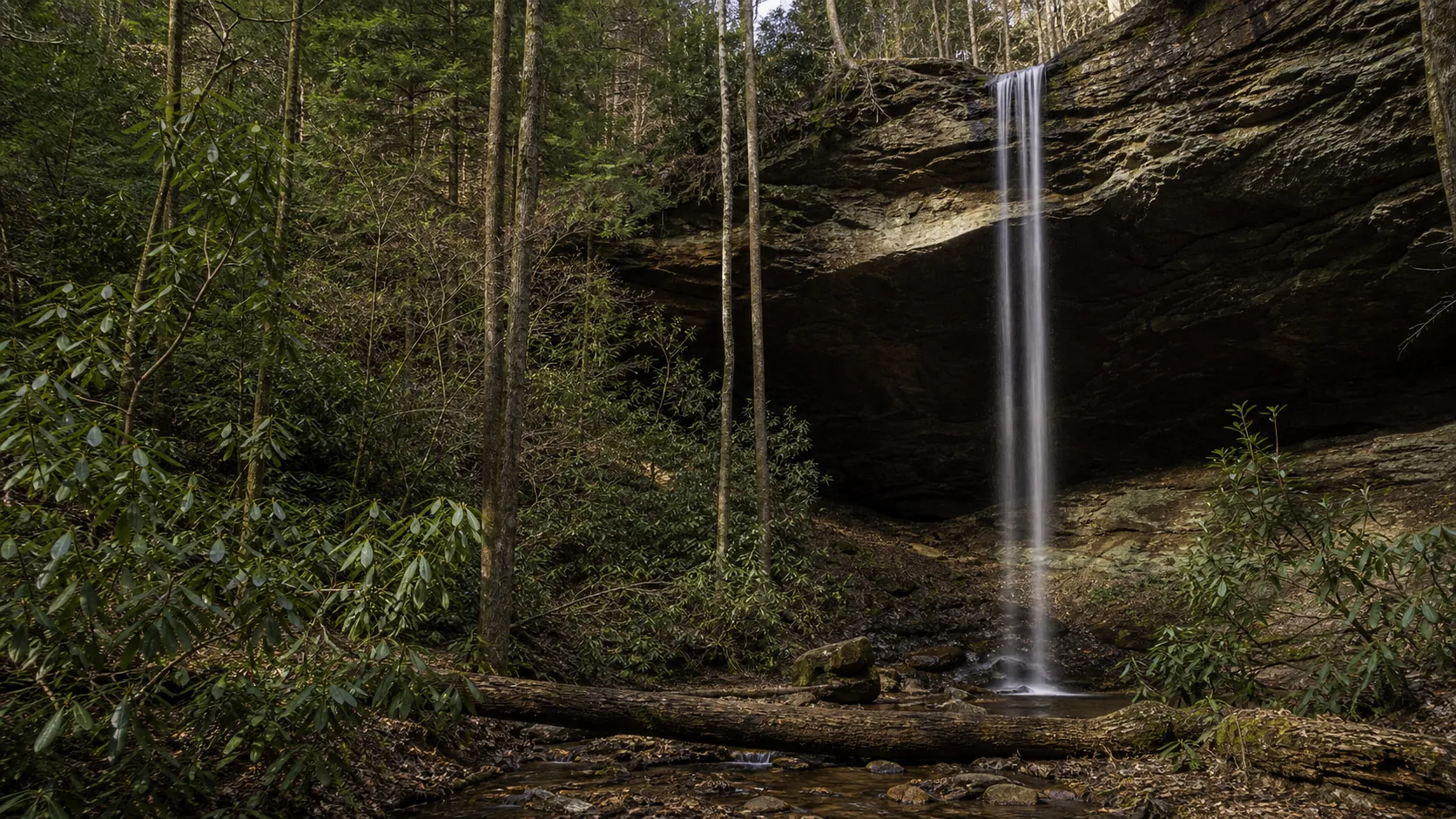
- 85-foot plunge near the Nature Center
- Best windows: Mar-May and Oct
- Free state park entry and free parking
- Short paved overlook from the lot
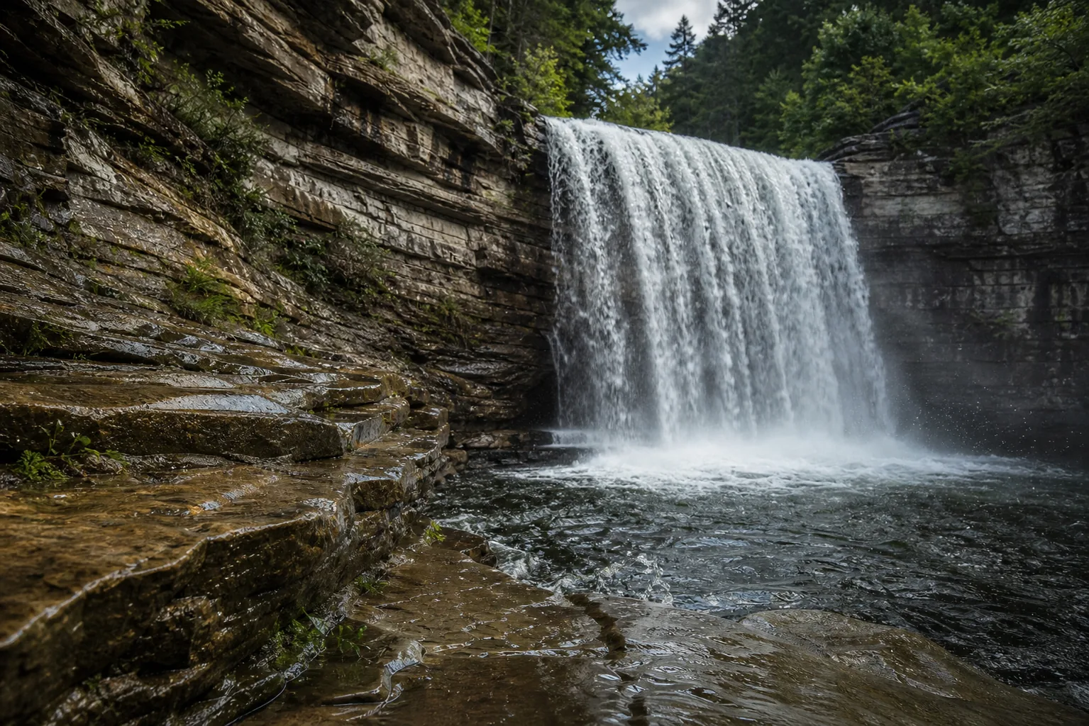
- Cable Trail to base is strenuous; skip if wet
- Pairs with Fall Creek Falls (256 ft) on the loop
Last verified May 12, 2026
Visited Desk-verified May 2026
7 sources checked