Cascade Field Guide Waterfalls Guide
Blue Hole Falls Blue Hole Falls waterfall in Georgia
GEORGIA / HELEN

Blue Hole Falls

Last verified by editor: May 4, 2026

Blue Hole Falls is a waterfall in Georgia near Helen, Georgia. This guide focuses on current-access planning, verified Wikimedia Commons photography, map orientation, and the questions people usually need answered before making the drive.

Photo: Wikimedia Commons / Jsfouche
Quick Answer

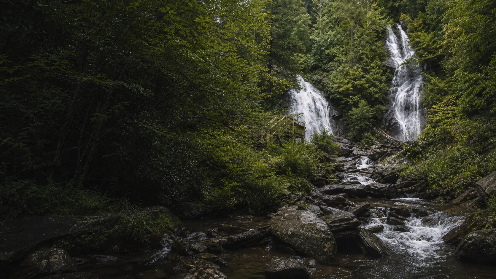
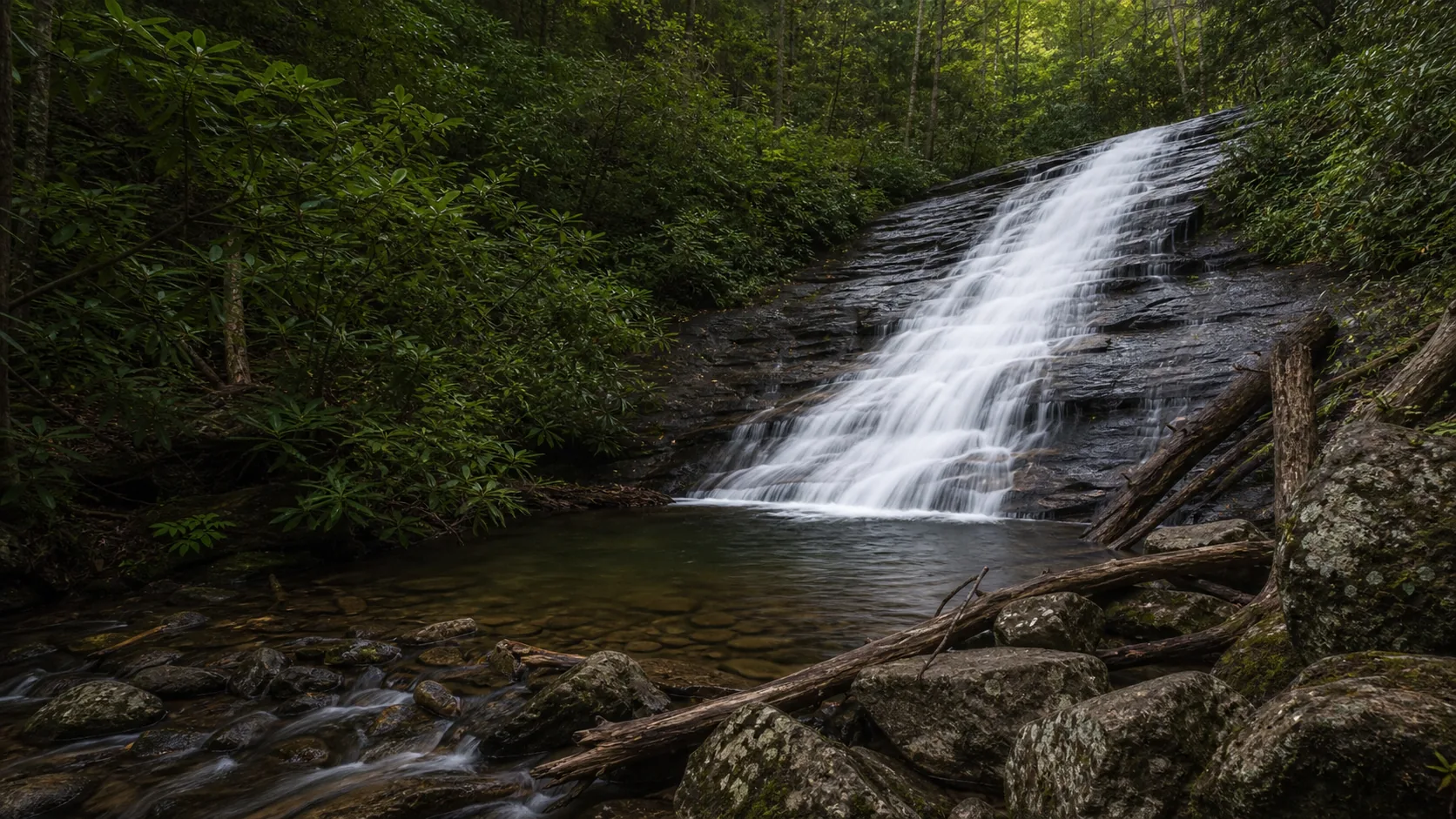
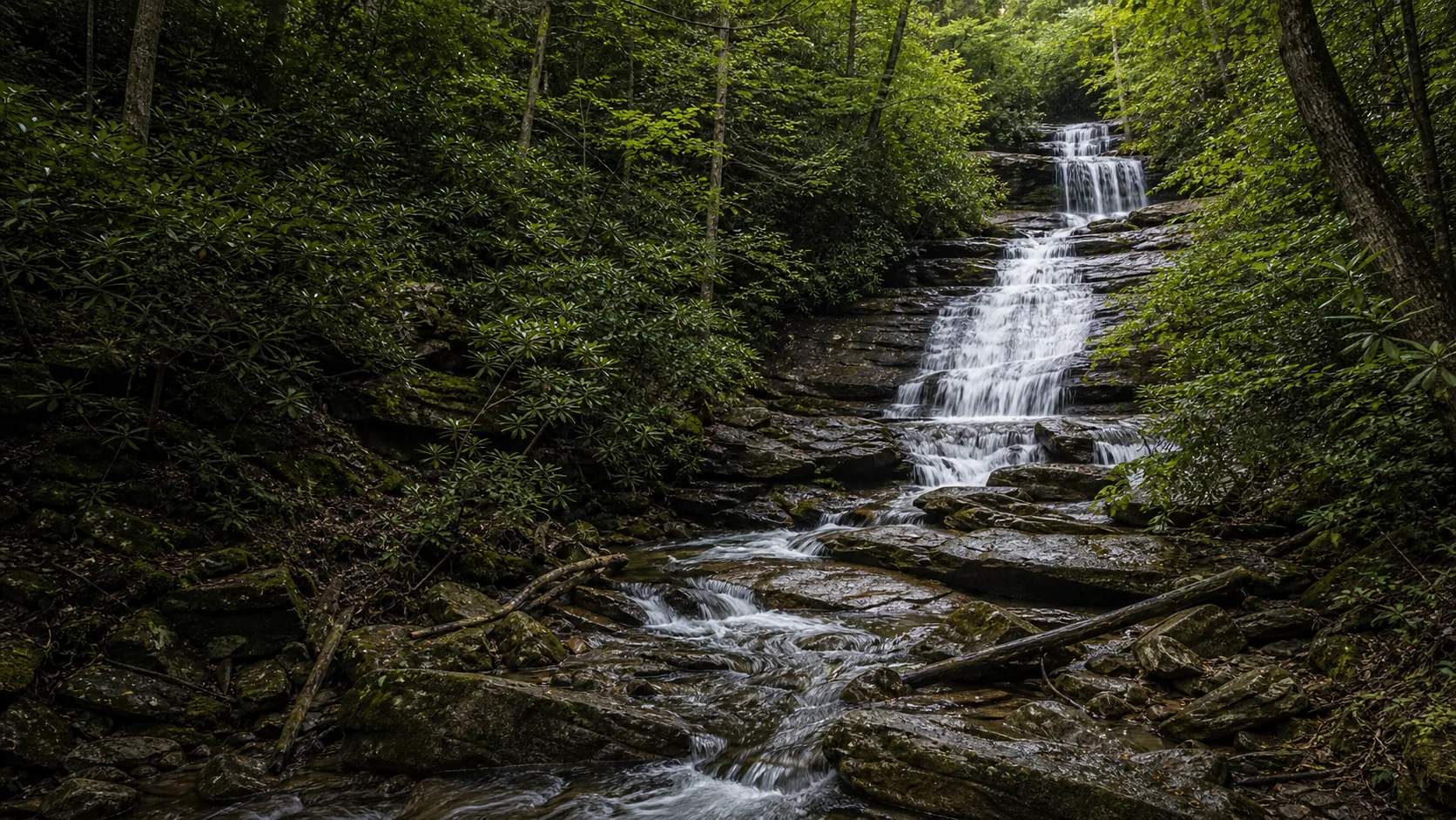
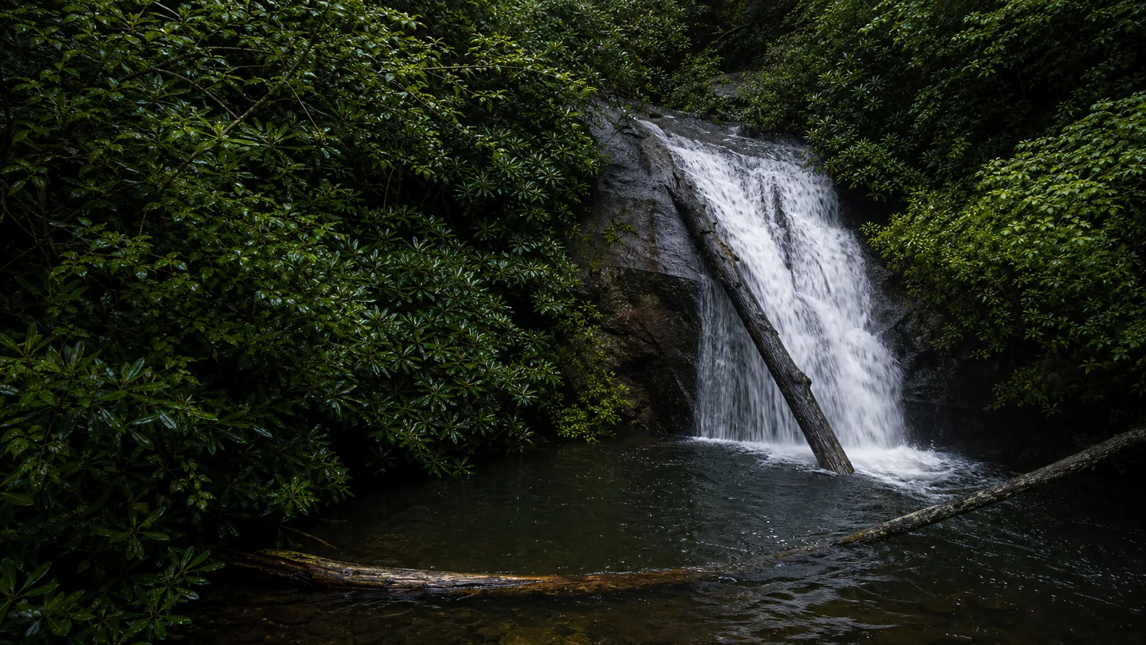
Is Blue Hole Falls worth visiting?
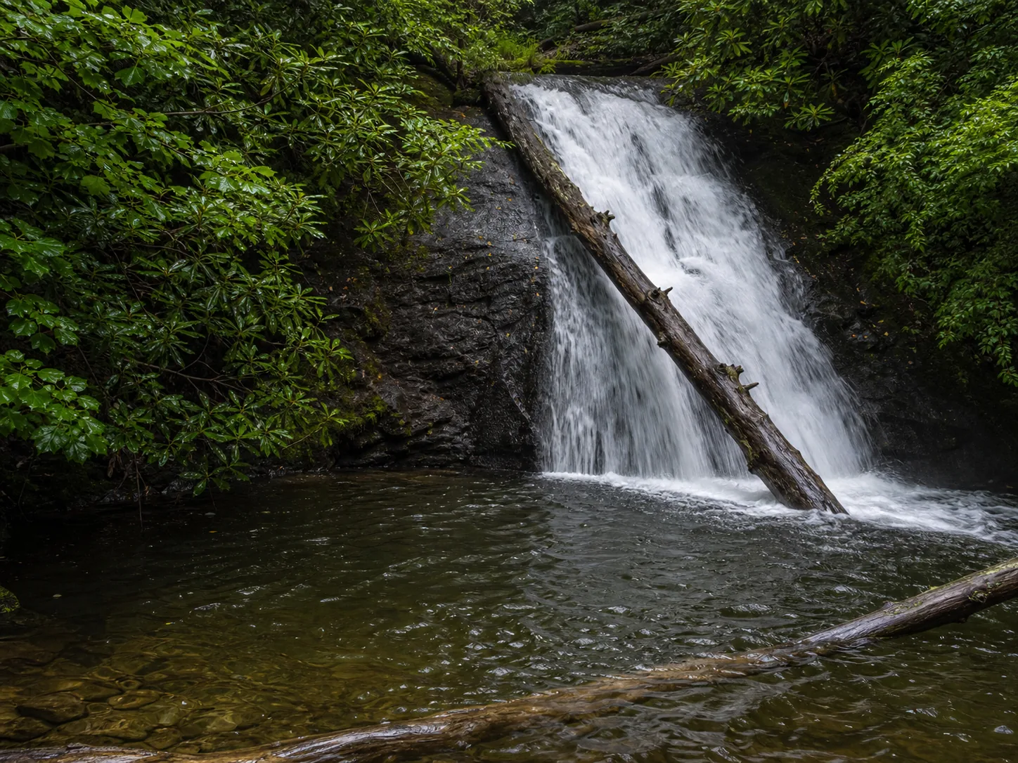
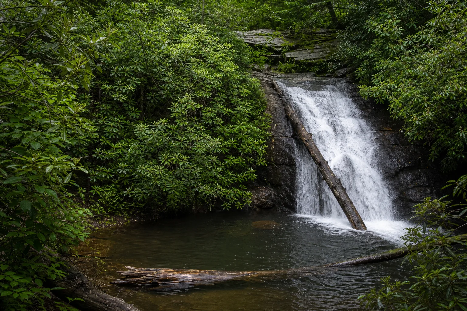
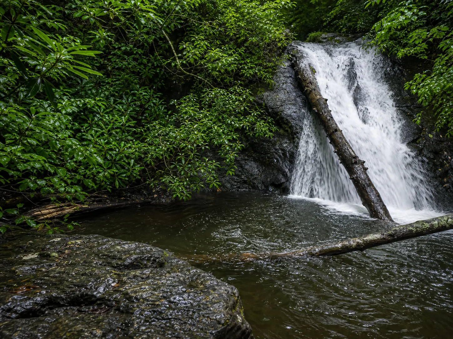
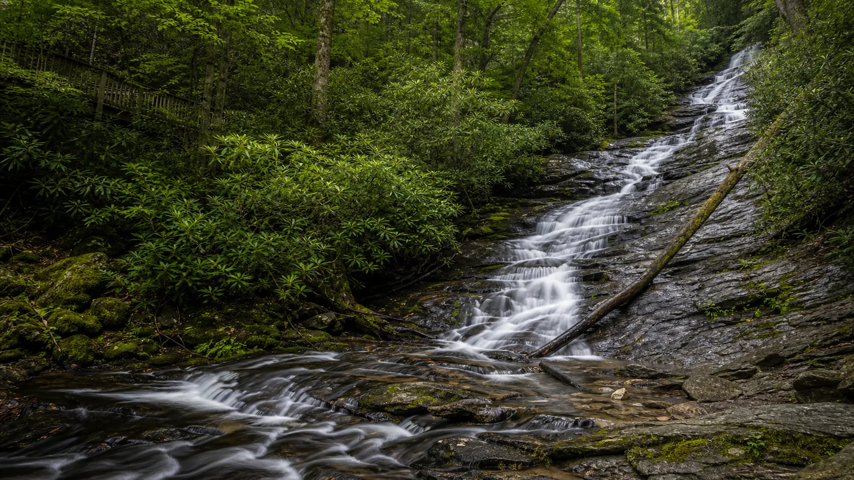
Yes, with one caveat: Blue Hole Falls has enough verified Commons imagery for a trustworthy guide, but not a deep photo library yet. Use this page for orientation, access checks, and photo expectations, then confirm current trail conditions before you go.

  • Georgia waterfall guide
  • Exact Wikimedia Commons photos
  • Access-check first
  • Map and directions
  • Photo planning notes
  • Supplemental FAQs
Last verified May 4, 2026 · Visited Desk-verified May 2026 · 5 sources checked
Blue Hole Falls main view of blue hole falls Wikimedia Commons / Jsfouche
Photography Worth planning
Typical visit 30-120 min
Access Verify first
Dogs Check rules
Weather Check alerts
Best for Photo stop
Key Facts
Height
25 ft USGS · 3DEP
Type
Waterfall USGS
Rock
Local bedrock Conservative geology note
Location
Helen, GA, USA Access
Elevation
2900 ft USGS · NED
Water source
High Shoals Creek USGS
County
Towns Towns Co.
Managed by
Local land manager Access
When to visit
J F M A M J J A S O N D PEAK FLOW
Peak flowAfter rain or snowmelt
Ice columnWinter varies
Most crowdedWeekends · Midday
Best photosSunrise · Weekdays
The useful waterfall guide is the one that tells you what to verify before the drive.
Cascade Field Guide editorial note

10 Through the Seasons

11 Blue Hole Falls photos

12 Why is it called Blue Hole Falls?

Blue Hole Falls is the established map and search name for this waterfall. Use that exact name when checking land-manager pages, map apps, and recent trail reports.

14 What else to do at Georgia waterfall area

Treat Blue Hole Falls as an access-check-first waterfall: confirm the current trailhead, parking rules, closure alerts, and weather before committing the drive.

  • Main viewpoint. Start with the signed public viewpoint or official trail route.
  • Photo stop. Overcast light usually gives cleaner water detail than harsh midday sun.
  • Conditions check. Waterfalls change quickly after storms, snowmelt, drought, and freeze-thaw cycles.
  • Leave no trace. Stay on durable surfaces and avoid climbing wet rock around the falls.

18 Photography & weddings at Blue Hole Falls

Photography

For Blue Hole Falls, plan photos around the main public viewpoint first, then look for safe side angles only if they are on signed or durable routes.

Soft overcast light is usually better than harsh midday sun because it preserves water texture and reduces blown highlights.

Personal photography is usually straightforward from public areas, but commercial shoots, drones, and staged sessions may require permission.

Weddings & engagements

Engagement photos can work at accessible overlooks, but waterfall sites are often narrow, wet, crowded, or seasonally restricted.

Confirm ceremony, commercial-use, and reserved-area rules with the land manager before planning a shoot.

Keep setups small, avoid blocking trails, and have a weather backup.

21 Related Blue Hole Falls questions

What is the best time to photograph Blue Hole Falls?

Soft overcast light, early morning, or late-day light usually gives better waterfall detail than harsh midday sun.

Are the photos on this page really Blue Hole Falls?

Yes. The waterfall photo slots use exact Wikimedia Commons files matched to Blue Hole Falls and logged in the local photo audit.

Is Blue Hole Falls good for families?

It can be a good family stop when the official access route is open and conditions are dry, but check route length, barriers, and water safety first.

Sources & Data
Access: Georgia waterfall area tripadvisor.com
Access access, parking, and permit rules tripadvisor.com
Conservative geology note: Helen Bedrock tripadvisor.com
NOAA/NWS forecast grid FFC/71,136 noaa.gov
USGS National Elevation Dataset 3DEP
Google Maps (embedded map + directions) maps.google.com
Google Places (nearby restaurants + hotels, photos, ratings) places API
Wikimedia Commons - Blue Hole Falls images commons.wikimedia.org
NOAA/NWS forecast grid weather.gov
SERP reference - tripadvisor.com tripadvisor.com
SERP reference - visitjohnsoncitytn.com visitjohnsoncitytn.com
SERP reference - atlantatrails.com atlantatrails.com
We cite public data and government sources whenever possible.

Photo audit: waterfall slots use exact Wikimedia Commons files from the audited C-hero-ready launch queue.
Flow audit: no live flow chip is shown unless a gauge is manually paired and verified.
Access audit: generated batch pages avoid unsourced fee, swimming, and trail-distance certainty; readers are told to verify current land-manager information.

Something look off?